


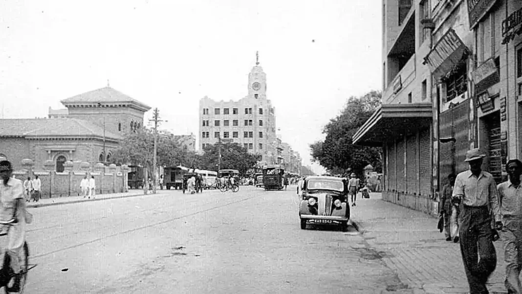
At independence, Pakistan wasn’t one contiguous country — it was two wings separated by 1,600 km of India. And the smaller wing held more people. This is the demographic map of Pakistan at independence: who lived where in 1947, and how Partition’s migrations redrew it within months.
Quick answer: At independence, the Dominion of Pakistan held roughly 70–75 million people: ~42 million in East Pakistan (now Bangladesh, ~55% of the total) and ~33 million in West Pakistan (present-day Pakistan). Partition’s migrations then transformed Punjab, Sindh and KP — while Balochistan barely changed.
In this guide
The Two Wings in Numbers
The 1951 census — the first hard count, four years after independence — gives the clearest picture of the 1947 distribution:
- East Pakistan: 42 million (~55%) — dense, riverine Bengal plus Sylhet
- West Pakistan: 33.7 million (~45%) — Punjab, Sindh, KP (then NWFP), Balochistan and the princely states
West Pakistan was more than seven times larger in area but held the minority of people. That single fact — the majority living in the east — shaped Pakistan’s politics from the first constituent assembly to 1971. For the overall 1947 estimate, see how many people lived in Pakistan at independence.
West Pakistan’s Provinces
- Punjab: the demographic core of the west — and the epicentre of Partition’s exchange. Hindus and Sikhs left for India; Muslim Punjabis arrived from the east. Within months, Punjab became religiously homogeneous.
- Sindh: transformed by migration — ~770,000 Sindhi Hindus departed; ~1.2 million Urdu-speaking North Indian Muslims settled, mostly in Karachi and Hyderabad. By 1954, Urdu speakers were 20% of Sindh.
- KP (NWFP): Hindus and Sikhs left for India; the province became overwhelmingly Muslim, like Punjab.
- Balochistan: sparsely populated and largely untouched by the exchange — its tribal demography continued as before.
East Pakistan: The Majority Wing
East Pakistan’s 42 million people (1951) included nearly 10 million Hindus — 23.2% of the wing’s population, versus just 3.44% non-Muslim in the west. The east was also more literate (21.5% vs 16.9% in the west, 1961 figures) and, in 1947, held about 60% of Pakistanis by some estimates — the majority of the school-age population too. The wing’s demographic weight was the foundation of every later argument about representation, resources and language.
How Migration Redrew the Map
Partition moved millions in both directions in 1947–48 — the largest mass migration in recorded history. The effects within Pakistan:
- Homogenisation: Punjab and KP went from mixed to overwhelmingly Muslim in months.
- Urban revolution: Karachi absorbed the Mohajir influx and exploded from under half a million toward megacity status.
- Linguistic shift: Urdu — the language of the North Indian migrants — became the national lingua franca, planted in Sindh’s cities by migration.
- Continuity: Balochistan and rural Sindh changed least; the east wing’s Hindu population, though reduced, remained substantial.
Frequently asked questions
Which part of Pakistan had more people in 1947 — east or west?
East Pakistan (now Bangladesh) — about 55% of the Dominion’s population (~42M of 75.7M in the 1951 census).
How did Partition change Pakistan’s population distribution?
Massively in the west: Punjab and KP became religiously homogeneous, Sindh gained ~1.2 million Urdu-speaking migrants while ~770,000 Hindus left, and Karachi was transformed into a migrant metropolis.
What was the population of Karachi in 1947?
Under half a million — compared to over 17 million today. Partition migration was the single biggest driver of its early growth.
, and how Partition migration redrew the demographic map.)