


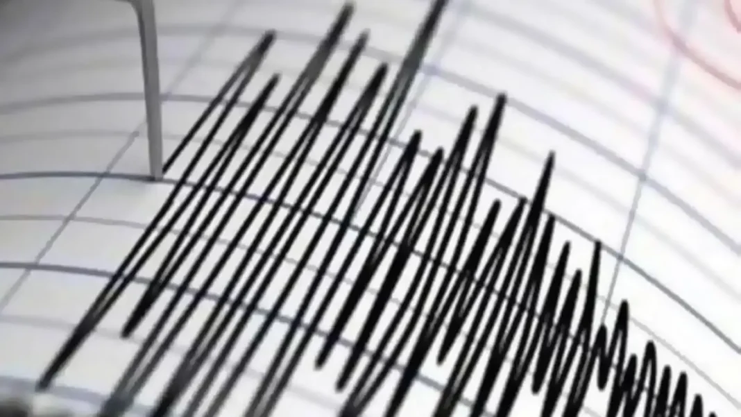
A magnitude 7 earthquake struck China’s Tibet region late on Thursday, injuring at least two people and damaging houses near the epicentre, Chinese state media reported. The Tibet earthquake is the strongest to hit China since January 2024.
The China Earthquake Networks Centre said the tremor hit at about 10:33pm local time. The epicentre lay in a sparsely populated, high-altitude county in Nagqu in northern Tibet, at a depth of 10 kilometres. The average elevation within five kilometres of the epicentre is about 4,864 metres, nearly 16,000 feet above sea level.
What we know about the Tibet earthquake
Local authorities found at least two people injured in a village near the epicentre, with houses in the closest villages showing cracks, the state broadcaster said. Videos released by local officially run media showed residents leaving their homes and sheltering outside or in cars parked on the street. One resident said the strong shaking woke them and set the house creaking.
The quake was clearly felt across the local area, the centre said. The epicentre was around 400 kilometres from Lhasa, the Tibetan capital. The US Geological Survey placed the epicentre about 191 kilometres east-northeast of Nagqu and measured the depth at 18 kilometres, slightly deeper than the Chinese figure. China has activated a national Level IV earthquake disaster emergency response and dispatched a working group to guide rescue operations, the Xinhua news agency reported.
Fire and rescue teams have been mobilised and are heading to the affected region, while a string of smaller tremors of around magnitude 3 and 4 has been recorded in the surrounding areas since the main shock.
A region built for tremors
The Tibetan plateau sits where the Indian and Eurasian tectonic plates collide, making it one of the most earthquake-prone regions on earth. Shallow quakes like this one, at just 10 kilometres deep, tend to cause stronger shaking at the surface than deeper tremors of the same magnitude.
The remoteness and altitude of the epicentre may have limited the damage. With few settlements within kilometres of the rupture and an average elevation close to 4,900 metres, rescue teams face a difficult journey to reach the affected villages.
The last comparable disaster in the wider region was the magnitude 7.1 tremor that struck Yushu in neighbouring Qinghai province in 2010, killing at least 2,698 people and leaving nearly 300 missing.
The region has shaken closer to home this month too: a 5.9-magnitude earthquake struck Khuzdar in Balochistan on October 18, killing one person — a reminder that the same restless geology runs along Pakistan’s western edge.
How strong was the Tibet earthquake?
Magnitude 7, at a depth of 10 kilometres, making it the strongest quake to hit China since January 2024.
Were there any casualties?
At least two people were injured in a village near the epicentre, and houses closest to it developed cracks. Rescue teams are still assessing the damage.
Where exactly did it strike?
A sparsely populated, high-altitude county in Nagqu, northern Tibet, about 400 kilometres from Lhasa, at an average elevation of 4,864 metres.
Read our earlier report on the Khuzdar earthquake in Balochistan.