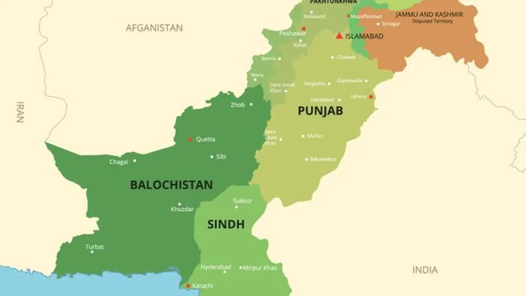
Pakistan’s coastal length divides into two sharply different shores — and knowing the difference answers half the geography questions asked about the coast.
Quick answer: Pakistan’s coastal length of ~1,046 km splits into the Sindh coast (~270 km) — flat, muddy, deltaic — and the Makran coast (~720 km) in Balochistan — rocky, rugged and scenic.
The Sindh coast (~270 km)
From the creeks east of Karachi to Sir Creek on the Indian border, the Sindh coast is flat, muddy and braided with tidal channels. Its defining feature is the Indus Delta — one of the world’s largest arid-zone mangrove forests, a nursery for shrimp and fish, and a natural barrier against cyclones and sea erosion.
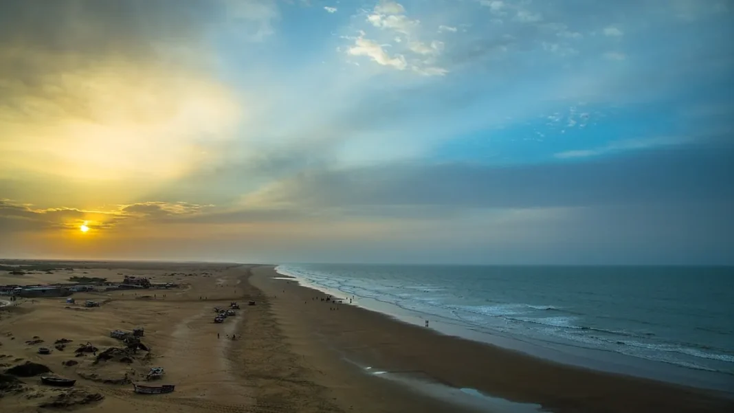
This is the working coast: Karachi Port and Port Qasim — the country’s two busiest harbours — both sit on it, alongside Keti Bandar and Shah Bandar. Karachi’s city beaches (Sandspit, Hawkes Bay, French Beach) are its recreational face.
The Makran coast (~720 km)
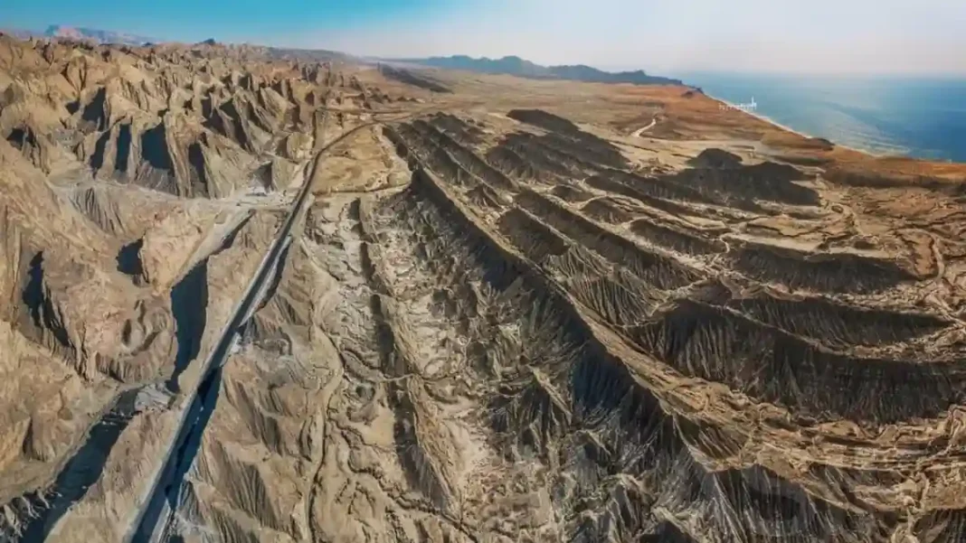
West of Karachi, the shore changes character completely. The Makran coast is rocky and mountainous, with cliffs dropping into the Arabian Sea, hidden bays and beaches — Kund Malir, Ormara, Pasni, Gwadar — routinely listed among South Asia’s most beautiful.
The Makran Coastal Highway (N-10) runs its full length, opening the coast to tourism and trade. Gwadar Port, the deep-sea flagship of CPEC, anchors its western end near the Iranian border.
Side-by-side comparison
| Feature | Sindh coast | Makran coast |
|---|---|---|
| Length | ~270 km | ~720 km |
| Terrain | Flat, muddy, deltaic | Rocky, cliffs, bays |
| Key feature | Indus Delta mangroves | Makran Coastal Highway |
| Major ports | Karachi, Port Qasim | Gwadar |
| Famous beaches | Sandspit, Hawkes Bay | Kund Malir, Ormara |
Frequently asked questions
How long is the Sindh coast?
About 270 km, from Karachi’s eastern creeks to Sir Creek.
How long is the Makran coast?
About 720 km — roughly two-thirds of Pakistan’s total shoreline.