Pakistan’s largest province — the definitive profile. Whether you mean land (Balochistan) or people (Punjab), this page profiles the winners, compares all four provinces, and explains what “largest” means for Pakistan’s federation.
Quick answer: Pakistan’s largest province: Balochistan by area (347,190 km², capital Quetta, ~14.9m people); Punjab by population (127.7m, capital Lahore, 205,344 km²). The four-province comparison is the essential reference.
In this guide
Balochistan: largest by land
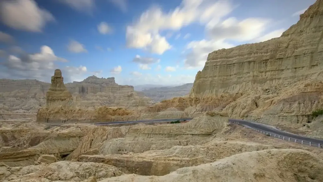
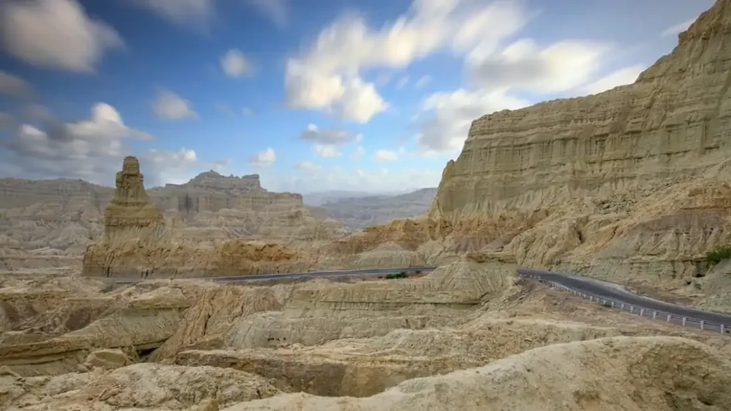
The vast province. 347,190 km² of mountains, desert and coastline — 44% of Pakistan. Capital Quetta; ~14.9 million people; the Gwadar port, Reko Diq minerals, Sui gas. Balochistan’s story is resources vs development: immense natural wealth, persistent underdevelopment, and an insurgency rooted in that gap. It is Pakistan’s largest province in the sense geographers mean.
The province’s districts include Pakistan’s largest (Chagai) and its divisions the country’s largest (Kalat). For the data tables, see the main guide.
Balochistan’s coastline deserves emphasis: around 1,000 km of Arabian Sea frontage, including Gwadar — the deep-sea port at the heart of CPEC. The province’s “largest” status isn’t just about empty land; it’s about the country’s maritime future.
Punjab: largest by people
The populous province. 127.7 million people — 53% of Pakistan — on 205,344 km² of irrigated plain. Capital Lahore; the five rivers; the breadbasket; the army’s recruiting ground; the National Assembly’s kingmaker. Punjab is Pakistan’s largest province in the sense politicians mean.
No understanding of Pakistan is possible without Punjab’s weight — and no federal settlement is stable without addressing the smaller provinces’ resentment of it. See the population ranking.
Punjab’s cultural footprint matches its demographic one: the Punjabi language, Sufi shrines, Mughal architecture and the food culture that defines “Pakistani” cuisine globally. The province’s “largest” status is lived daily in the country’s language, politics and plate.
The four provinces side by side
One table to rule them all. Balochistan: 347,190 km², ~14.9m, Quetta. Punjab: 205,344 km², 127.7m, Lahore. Sindh: 140,914 km², 57.9m, Karachi. KP: ~101,741 km², 40.9m, Peshawar. Area order: Balochistan > Punjab > Sindh > KP. Population order: Punjab > Sindh > KP > Balochistan.
The federation’s balance: Punjab has the votes, Sindh the ports and industry, KP the frontier, Balochistan the land and minerals. Each province’s “largest” claim is a different kind of power. The pillar guide is the standing reference.
What ‘largest’ means
It depends who asks. Geographers and quizmasters mean area: Balochistan. Politicians and economists mean population: Punjab. Strategists might mean the coastline (Balochistan) or the GDP (Punjab/Sindh contest). The word “largest” is a container — always check what’s inside.
For Pakistan, the useful answer is both: the country’s central geographic fact is the mismatch between land and people, and its central political fact is managing that mismatch. Start with the phrasing guide and work outward.
The 18th Amendment (2010) was the federation’s answer to the mismatch: devolving power and resources to the provinces, with the NFC award rebalanced toward the smaller ones. Whether devolution has worked is Pakistan’s great ongoing debate — and it starts from the two maps on this page. Keep both maps in your head and the politics follows.
What is Pakistan’s largest province?
Balochistan by area (347,190 km²); Punjab by population (127.7 million). The unqualified answer is Balochistan.
What are the four provinces of Pakistan?
Balochistan, Punjab, Sindh and Khyber Pakhtunkhwa — plus the territories: Gilgit-Baltistan, Azad Jammu & Kashmir, and Islamabad Capital Territory.
Which province has the most districts?
Punjab has the most districts (41+ after recent splits); Balochistan’s districts are the largest individually, led by Chagai.