Zoom out from the border line and the Indo–Pak map becomes a portrait of South Asia: two nuclear neighbours, 240 and 1,400 million people, sharing a 3,323 km frontier and almost no open gates. This is the regional guide — companion to our Pakistan to India map and border map explainers.
Quick answer: On the map, Pakistan sits west of India with the Arabian Sea to the south. The neighbours around them: China and Afghanistan touch Pakistan’s north and west; Nepal, Bhutan, Bangladesh and Sri Lanka ring India. Islamabad lies ~700 km from New Delhi by air — closer than Karachi is to Peshawar.
In this guide
Where the two countries meet
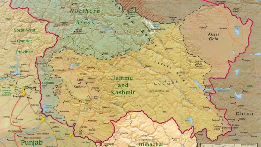
Pakistan’s entire eastern flank faces India: Sindh opposite Gujarat and Rajasthan, Punjab opposite Indian Punjab and Rajasthan, and the long Kashmir front — Azad Kashmir and Gilgit-Baltistan facing Jammu & Kashmir and Ladakh — in the north. The frontier runs from the Arabian Sea coast at Sir Creek to the high Karakoram, crossing desert, farmland, river plains and some of the world’s highest battlefields (the Siachen Glacier, contested since 1984, sits just beyond the LoC’s northern end).
The neighbourhood around them
The Indo–Pak pair does not exist in isolation. Pakistan’s other neighbours are Iran (west), Afghanistan (northwest, via the Durand Line), and China (north, via the Karakoram and the Khunjerab Pass). India’s are Nepal and Bhutan (north), Bangladesh and Myanmar (east), and Sri Lanka across the Palk Strait — with China along the long Himalayan Line of Actual Control. The map’s great irony: Pakistan and China are close partners linked by the Karakoram Highway, while India and China face off along a disputed 3,400 km line.
Capitals and distances
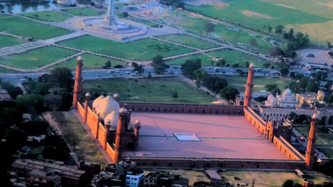
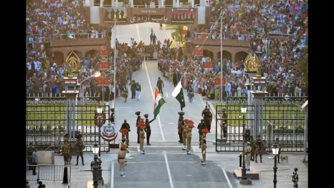
Some map measurements surprise. Islamabad to New Delhi is roughly 700 km by air — a one-hour flight, when flights operate. Lahore to Amritsar is barely 50 km by road, closer than many commutes. Karachi to Mumbai is about 880 km across the Arabian Sea. And Wagah–Attari sits 24 km from Lahore, 32 km from Amritsar — which is why the Grand Trunk Road crossing became the natural gate between the two Punjabs, divided in 1947.
What the map tells you
Read as a whole, the Indo–Pak map tells three stories. First, partition’s geometry: two Punjabs and two Bengals (before 1971) split by a line drawn in weeks. Second, Kashmir’s centrality: the only part of the map where the line is drawn dashed, dotted or “disputed” — the cartographic signature of an unresolved conflict. Third, the closed frontier: a 3,323 km border with a single road gate, currently shut — a map of separation more than connection. For the line-by-line detail, see our India–Pakistan border map guide.
Frequently asked questions
Which country is east of Pakistan?
India lies directly east (and southeast) of Pakistan, sharing the country’s entire eastern frontier from the Arabian Sea to Kashmir.
How far is Lahore from the Indian border?
The Wagah-Attari crossing is about 24 km east of Lahore on the Grand Trunk Road; Amritsar lies roughly 50 km from Lahore by road.
Which countries border both India and Pakistan?
China borders both — Pakistan in the north (Gilgit-Baltistan/Xinjiang) and India along the Himalayan frontier. Afghanistan borders Pakistan but not India directly.
Why do maps show Kashmir with dotted lines?
Because its final status is disputed: the Line of Control divides administered areas, but neither India nor Pakistan — nor the UN, whose maps mark it ‘approximately’ — treats the LoC as a settled international boundary.