One map, four different boundaries: the India–Pakistan border changes its legal character as it runs from the Arabian Sea to the Karakoram. This guide reads the border map segment by segment — and places it inside our Pakistan to India map overview.
Quick answer: The India-Pakistan border runs 3,323 km from the Arabian Sea to Kashmir. Its southern and central stretches follow the 1947 Radcliffe Line (settled international border); between Sialkot and Jammu lies the Working Boundary; and across Kashmir runs the ~740 km Line of Control — a military line, not a legal border.
In this guide
The Radcliffe Line: the settled border
Drawn in five weeks by Sir Cyril Radcliffe and announced on 17 August 1947, the Radcliffe Line is the legal international boundary from the coast through Sindh/Gujarat and Rajasthan up to Punjab. It divided villages, farms, railways and irrigation canals — the haste of its drawing is still visible in the line’s jagged course. On modern maps it appears as the firm, undisputed frontier: fenced, floodlit and patrolled along almost its entire length.
The Working Boundary
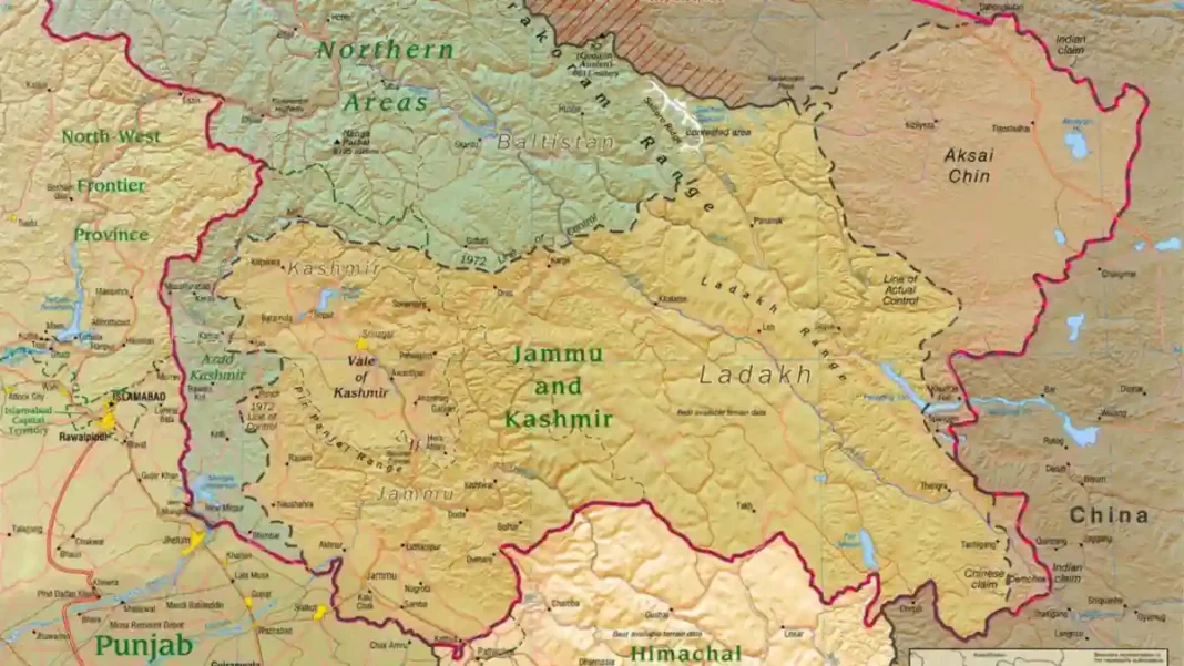
Between Sialkot (Pakistan) and Jammu (India) the map carries a subtle label: the Working Boundary. Pakistan treats this ~240 km stretch as distinct from the settled Radcliffe Line — a legacy of Kashmir’s unresolved status, since it abuts the disputed region. India generally maps it as part of the international border. For the map reader, it is the first hint that this frontier’s legal geography is not uniform.
The Line of Control in Kashmir
North of the Working Boundary, the settled border ends entirely. The Line of Control — about 740 km — separates Azad Kashmir and Gilgit-Baltistan from Indian-administered Jammu & Kashmir and Ladakh. Born as the 1949 UN ceasefire line and renamed by the 1972 Simla Agreement, it is a military reality rather than a legal boundary: fenced and mined in stretches, and the site of the 1999 Kargil conflict. No civilian crosses it.
Sir Creek: the unresolved corner
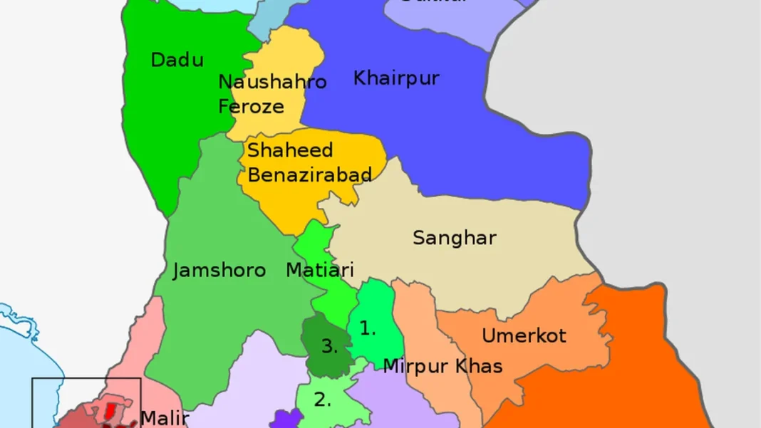
At the southern tip, the marshy Sir Creek estuary between Sindh and Gujarat remains undemarcated — the two sides disagree on whether the boundary follows the creek’s eastern bank or its mid-channel. The dispute matters beyond the marshes: it determines a slice of the Arabian Sea exclusive economic zone. Decades of talks, including near-agreements, have never quite closed it.
Crossings on the map
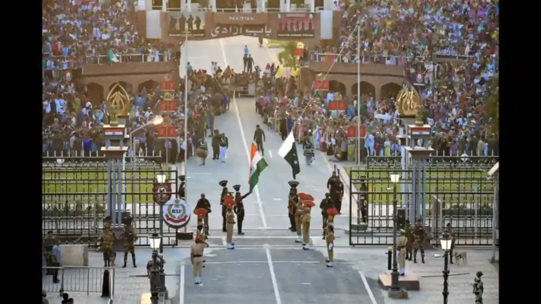
Mark the gates: Wagah-Attari (road, Lahore–Amritsar — currently closed to ordinary traffic), the Kartarpur Corridor (visa-free pilgrim crossing), and Khokhrapar-Munabao (suspended rail link). Three gates for 3,323 km — the map tells the story of the relationship as clearly as any history book. See the full Indo–Pak regional map for the wider neighbourhood.
Frequently asked questions
What is the name of the border between India and Pakistan?
The international boundary is the Radcliffe Line (1947). In Kashmir the de facto boundary is the Line of Control, and the Sialkot–Jammu stretch is termed the Working Boundary.
How long is the Radcliffe Line?
The total India–Pakistan frontier is about 3,323 km; excluding the ~740 km Line of Control, the settled Radcliffe Line international border is roughly 2,545 km.
Which Pakistani provinces border India?
Sindh and Punjab share the settled international border with India. In the north, Azad Kashmir and Gilgit-Baltistan face the Line of Control.
Is the Line of Control an international border?
No. It is a military control line — the 1949 ceasefire line renamed in 1972 — not a legally settled international boundary. Neither side treats it as a permanent border.