Pakistan Landscape Regions: Mountains, Deserts, Plains & Coast in Detail
Pakistan’s 881,913 square kilometres pack in more geographic variety than almost any country its size. This guide walks through each landscape region in detail — what defines it, where it lies, and why it matters.
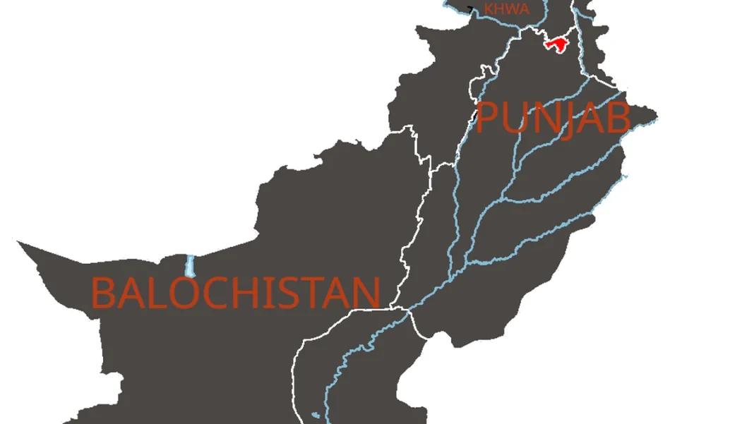
Quick answer: Pakistan’s landscape divides into four regions: the northern high mountains (Karakoram, Himalaya, Hindu Kush with 5 eight-thousanders), the western Balochistan plateau, the Indus river plains of Punjab and Sindh, and the southern deserts and Arabian Sea coast.
The Northern Mountains
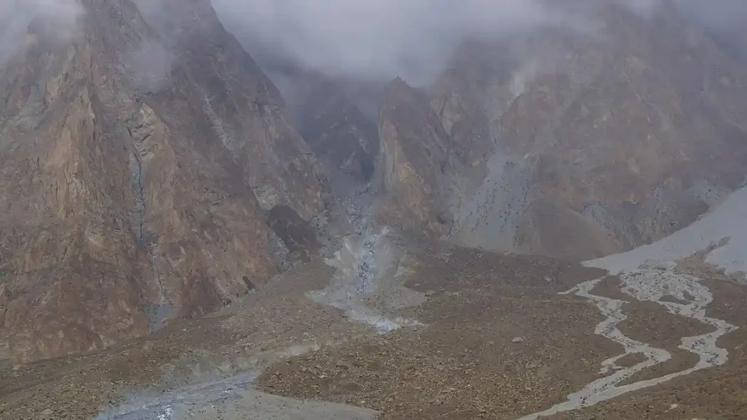
Three of the world’s great ranges converge in Gilgit-Baltistan and northern KP: the Karakoram (K2 8,611m, Gasherbrums, Broad Peak), the Himalaya (Nanga Parbat 8,126m) and the Hindu Kush (Tirich Mir 7,708m). Pakistan holds 5 of the 14 eight-thousanders and over a hundred 7,000m peaks. The Baltoro glacier system — including the 63km Baltoro and the meeting of glaciers at Concordia — is among the largest ice fields outside the poles. Valleys like Hunza, Skardu, Naran, Neelum and Swat sit between these walls of rock and ice.
The Balochistan Plateau
Covering about 44% of Pakistan’s area, the western plateau is a high, arid tableland of basins and ranges — the Sulaiman, Kirthar, Toba Kakar and Makran ranges — drained by seasonal rivers. Quetta sits at 1,680m in a mountain-ringed valley. The plateau holds Pakistan’s mineral wealth (Saindak copper-gold, Reko Diq) and the stark Hingol landscapes of the south.
The Indus Plains
The Indus and its five Punjab tributaries (Jhelum, Chenab, Ravi, Beas, Sutlej) built one of the world’s great alluvial plains. The world’s largest contiguous irrigation system waters it — Punjab and Sindh grow the wheat, cotton, rice and sugarcane that feed the country. The plains hold Pakistan’s biggest cities: Lahore, Karachi (on the coastal edge), Faisalabad, Rawalpindi, Multan and Hyderabad.
Deserts & the Coast
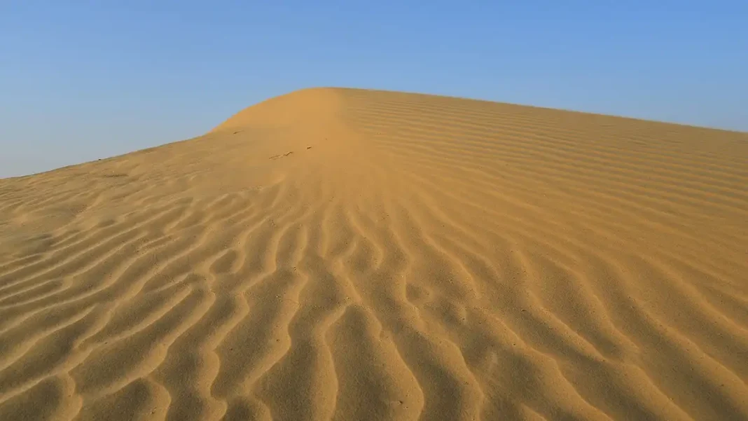
South and east of the plains lie the Thar and Cholistan deserts; north of Skardu, the surreal cold desert dunes sit beneath snow peaks. The 1,046km Arabian Sea coast runs from Karachi to Gwadar, with the Hingol mud volcanoes, the Princess of Hope formation, and the hammerhead peninsula of Gwadar.
Frequently Asked Questions
What are the main landscape regions of Pakistan?
Four: the northern high mountains, the Balochistan plateau, the Indus river plains, and the southern deserts and coast.
Which mountain ranges are in Pakistan?
The Karakoram, Himalaya and Hindu Kush in the north, plus the Sulaiman, Kirthar, Toba Kakar and Makran ranges in the west.
Where is the cold desert of Pakistan?
Near Skardu/Shigar in Gilgit-Baltistan — high-altitude dunes surrounded by snow-capped peaks, among the highest deserts in the world.