Quick answer: Draw Pakistan’s map in 8 steps: frame a tall rectangle, draw the eastern diagonal, the jagged northern crown with the Wakhan notch, the southern coast, and the western zigzag — then add provinces, the north-to-south Indus, the seven capitals and neat labels. Use a 3:4 width-to-height ratio and one colour per province.
Before you draw
You need: a pencil, an eraser, a ruler and a black pen for the final outline. Study a real map for two minutes first — notice that Pakistan is taller than it is wide, that the east side is one long diagonal, and that the north is all jagged mountains while the south is smooth coast. Keep a reference map beside you; even professionals draw from reference.
The 8 steps
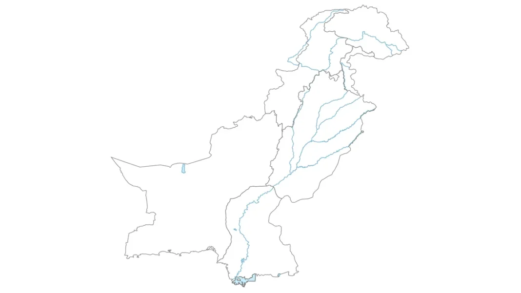
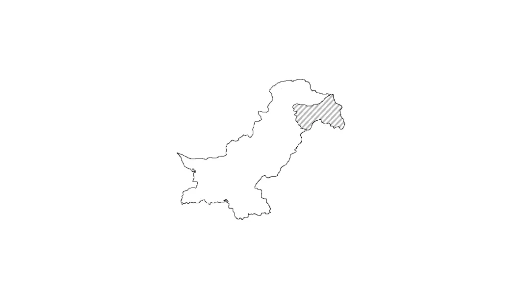
1. Lightly draw a rectangle with a 3:4 width-to-height ratio. 2. Draw the long diagonal from the top-right down to the southeast — the India border. 3. Sketch the northern crown: Gilgit-Baltistan’s jagged peaks, the tiny Wakhan notch at the very top, and the AJK wedge below it. 4. Curve along Sindh’s coast to the Indus delta, then run Balochistan’s Makran coast west to Iran. 5. Close the west with the Durand Line zigzag — 6 to 8 straight segments from the Iran tripoint up to the Wakhan. 6. Divide the interior into the six provinces/territories. 7. Draw the Indus flowing north to south, with Punjab’s four eastern tributaries (Jhelum, Chenab, Ravi, Sutlej). 8. Ink the outline, erase construction lines, label everything.
Labelling for full marks
Examiners score labelling more than artistry. Write inside each province: its name and capital — Balochistan/Quetta, Punjab/Lahore, Sindh/Karachi, KP/Peshawar, Gilgit-Baltistan/Gilgit, AJK/Muzaffarabad. Mark Islamabad with a star. Label the Arabian Sea, the Indus River, and the four neighbours (China, India, Iran, Afghanistan). Add a title and north arrow.
Practice routine
Trace a printed outline three times, then draw freehand beside it, then freehand from memory. Ten minutes a day for a week makes the shape muscle memory. Print the free blank maps from Wikimedia Commons (“Blank Provinces of Pakistan”) for tracing sheets. For the complete method with diagrams of each region, see the full Pakistan map drawing guide.
Related guides
Frequently asked questions
How can I draw Pakistan’s map for an exam?
Use the anchor-line method: eastern diagonal first, then coast, western zigzag, northern mountains. Keep a 3:4 ratio, label provinces and capitals neatly — examiners reward labelling over detail.
What should I label on a Pakistan map drawing?
The six provinces/territories with capitals, Islamabad (starred), the Indus River, the Arabian Sea and the four neighbouring countries — plus a title and north arrow.
How long does it take to learn to draw Pakistan’s map?
About a week of ten-minute daily practice: trace three times, draw beside the reference, then draw from memory.