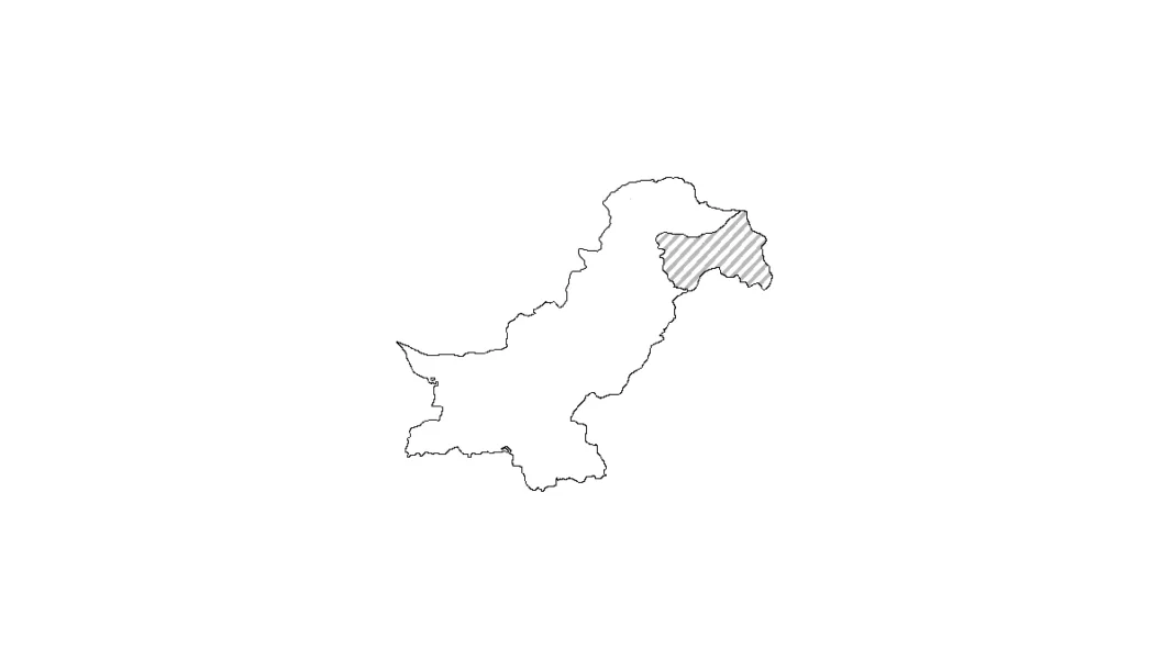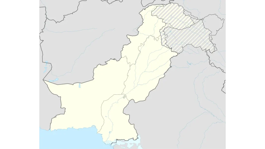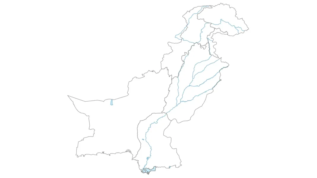
Quick answer: A quick Pakistan map sketch takes 5 minutes: one diagonal for the east, one curve for the coast, a zigzag for the west, a jagged crown for the north — then the Indus line and six province labels. Skip fine detail; capture the proportions and the four signature edges and any viewer will recognise the country.
The four signature edges
Every recognisable Pakistan sketch has four edges: (1) the long, smooth eastern diagonal; (2) the jagged northern crown with its little Wakhan notch; (3) the gentle southern coastal curve; (4) the western zigzag. Get these four right and the interior almost draws itself.
The 5-minute sequence
Minute 1: diagonal. Minute 2: northern crown. Minute 3: coast and western zigzag, closing the shape. Minute 4: the Indus line north-to-south plus province dividers. Minute 5: six labels and a title. Use a single pen, no erasing — sketches are about confidence, and a confident wrong-ish line looks better than a hesitant corrected one.
What to simplify
Drop the small wiggles: the Durand Line becomes 6 straight segments, the coast becomes one smooth curve, Gilgit-Baltistan becomes 5 zigzag peaks. Keep only the Wakhan notch — it’s tiny but it’s the detail people check. Merge AJK into the northern wedge rather than drawing its exact boundary.
When a sketch is enough
Classroom explanations, rough location maps in assignments, and geography viva voce — anywhere the idea of the shape matters more than precision. For exam-grade drawings with full labelling, see the complete Pakistan map drawing guide.
Related guides
Frequently asked questions
How do I sketch Pakistan’s map quickly?
Draw the four signature edges — eastern diagonal, jagged northern crown, coastal curve, western zigzag — then the Indus line and six province labels. Five minutes, one pen, no erasing.
What is the easiest part of Pakistan’s map to draw?
The eastern diagonal — the long, fairly straight border with India. One confident stroke anchors the whole sketch.
How do you draw the Durand Line simply?
As 6 to 8 connected straight segments zigzagging from the Iranian border up to the Wakhan — never as a wavy line.