Physical Features of Pakistan: Mountains, Plateaus and Plains Explained
Pakistan packs an extraordinary range of terrain into one country: the world’s second-highest mountain, fertile river plains that feed over 240 million people, arid plateaus rich in minerals, and some of the largest deserts on Earth. For students, travellers and the curious alike, the physical features of Pakistan are best understood as a north-to-south journey — from snow to sand to sea.
Quick answer: Pakistan’s physical features are grouped into the northern highlands (Karakoram, Himalayas, Hindu Kush), the western highlands (Sulaiman, Kirthar ranges), the Balochistan plateau, the Salt Range and Potwar plateau, the upper and lower Indus plains, the Thar, Cholistan, Thal and Kharan deserts, and the ~1,046 km Makran coastline on the Arabian Sea.
In this guide
The mountains of the north and west
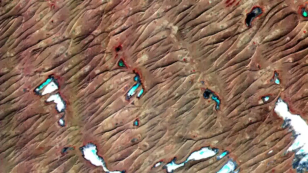
The northern highlands are Pakistan’s most famous physical feature. Three great ranges meet here: the Karakoram with K2 (8,611 m) — the world’s second-highest peak — plus four more peaks above 8,000 m; the Himalayas with Nanga Parbat (8,126 m); and the Hindu Kush with Tirich Mir (7,708 m) along the Afghan border. These ranges hold some of the largest glaciers outside the polar regions, including the Baltoro and Siachen glaciers, and their snowmelt feeds the entire Indus river system.
West of the Indus, the Sulaiman, Kirthar and Toba Kakar ranges form the rugged western highlands — drier, lower, but historically crucial, since passes like the Khyber and Bolan have carried trade and armies for millennia. The coastal Makran range rises steeply behind three-quarters of the shoreline, reaching about 1,500 m.
The plateaus: Balochistan, Potwar and the Salt Range
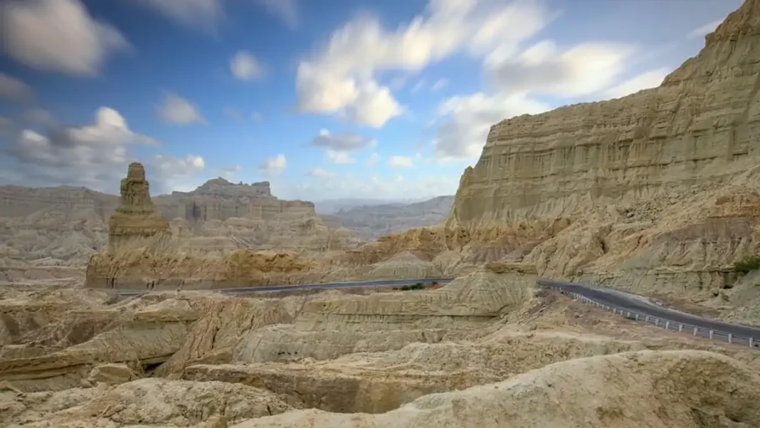
The Balochistan plateau is an arid tableland at 600–900 m covering most of Balochistan province. It is ringed by dry mountains, drained by rivers like the Hingol and Dasht, and thinly populated — but it is Pakistan’s mineral frontier, with copper and gold in the Chagai hills (Reko Diq) and gas fields elsewhere.
In the north-east, the Salt Range runs from the Jhelum to the Sulaiman foothills, its highest point Sakesar (1,520 m), and hosts the Khewra salt mine — the world’s second-largest. Just north of it, the Potwar plateau (300–600 m) between the Indus and Jhelum rivers is rugged, rain-fed country with oil, coal and gas fields.
The plains of the Indus
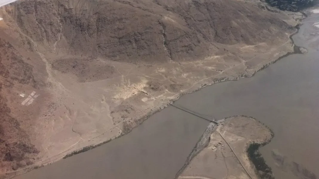
South of the Salt Range, the land flattens into the Indus plains — the agricultural heart of Pakistan. The upper Indus plain (Punjab) runs from the Salt Range to Mithankot and is watered by the Indus plus its four great tributaries — the Jhelum, Chenab, Ravi and Sutlej. One of the world’s most developed canal irrigation systems turns this plain into the country’s breadbasket: wheat, rice, sugarcane and cotton.
The lower Indus plain (Sindh) runs from Mithankot to the Arabian Sea, irrigated through the great barrages at Sukkur, Guddu and Kotri, and ending in the Indus delta’s mangrove coast. It is also the most densely populated part of the country.
The deserts and the coast
Pakistan has four main deserts. The Thar in south-east Sindh is one of the world’s largest, with shifting dunes and a distinctive camel-herding culture. Cholistan adjoins it in Punjab, Thal lies between the Indus and Jhelum, and the sandy Kharan basin sits in western Balochistan.
The Makran coastline stretches about 1,046 km along the Arabian Sea — from Karachi and Port Qasim in the east to the Iranian border, with the deep-sea port of Gwadar at its western end and beaches like Kund Malir along the way.
Key facts at a glance
For a deeper, visual tour of every region, see our full guide to the physical features of Pakistan, and don’t miss our round-up of the most beautiful valleys in Pakistan — the highlands at their scenic best.
| Feature | Detail |
|---|---|
| Highest peak | K2, 8,611 m — world’s second-highest |
| Longest river | Indus, ~1,609 km within Pakistan’s course |
| Coastline | ~1,046 km on the Arabian Sea |
| Largest desert | Thar Desert, south-east Sindh |
| Latitude range | 24° to 37° North |
FAQs
What are the main physical features of Pakistan?
The main physical features of Pakistan are the northern highlands (Karakoram, Himalayas, Hindu Kush), the western highlands (Sulaiman, Kirthar ranges), the Balochistan plateau, the Salt Range and Potwar plateau, the upper and lower Indus plains, the Thar, Cholistan, Thal and Kharan deserts, and the Makran coastline on the Arabian Sea.
What is the highest mountain in Pakistan?
K2, at 8,611 metres (28,251 feet), is Pakistan’s highest mountain and the second-highest in the world after Mount Everest. It stands in the Karakoram range of Gilgit-Baltistan. Pakistan is home to five of the world’s fourteen 8,000-metre peaks.
What are the plains of Pakistan?
The plains of Pakistan are the upper Indus plain (Punjab) and the lower Indus plain (Sindh) — alluvial flatlands built by the Indus and its tributaries. They are the country’s most fertile and densely populated region, supporting wheat, rice, sugarcane and cotton through one of the world’s largest irrigation systems.
Which deserts are found in Pakistan?
Pakistan has four main deserts: the Thar Desert in south-east Sindh (one of the world’s largest), Cholistan in south-east Punjab, the Thal Desert between the Indus and Jhelum rivers, and the Kharan basin in western Balochistan.