The length of coastline of Pakistan is a staple of general-knowledge papers, quiz competitions and CSS exams. These are the facts worth memorising — each verified.
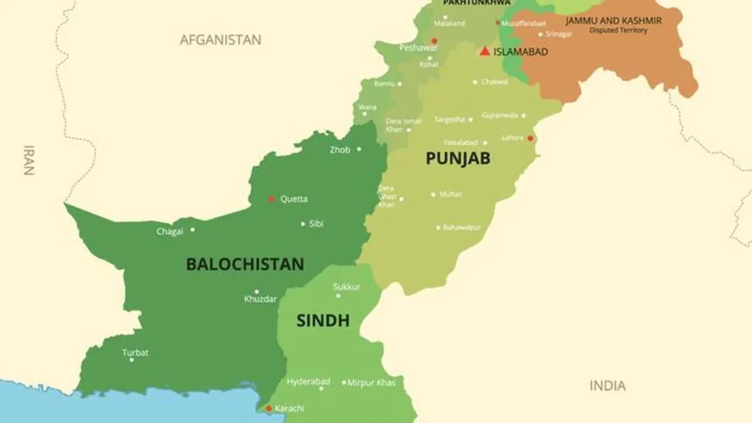
Quick answer: The length of Pakistan’s coastline is 1,046 km (new survey: 1,058 km) along the Arabian Sea, shared by Sindh (~270 km) and Balochistan (~720 km), from Sir Creek to Gwadar Bay.
In this guide
Coastline facts at a glance
- Length: 1,046 km (classic) / 1,058 km (new survey) — ~650 miles
- Sea: Arabian Sea (Pakistan’s only neighbouring sea)
- Provinces: Sindh and Balochistan
- Eastern end: Sir Creek (border with India)
- Western end: Gwadar Bay (border with Iran)
- Major ports: Karachi, Port Qasim, Gwadar
- EEZ: ~240,000 sq km
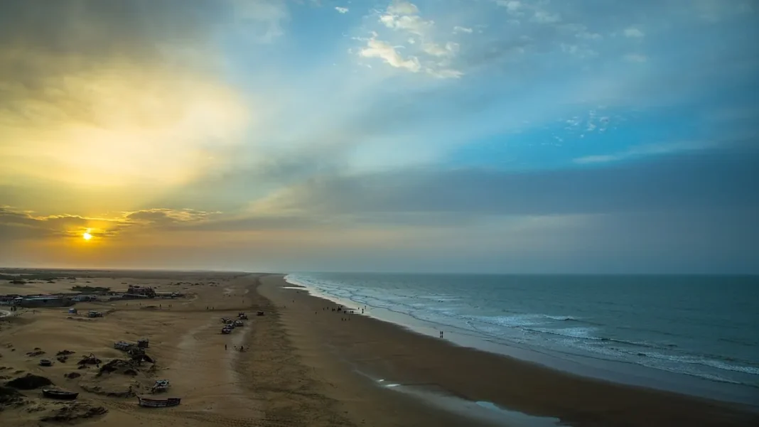
- Longest beach belt: Makran coast, ~720 km
Where exactly is it?
Pakistan lies on the northern shore of the Arabian Sea, between roughly 23°30′ and 25°40′ north latitude. The coast is the country’s entire southern frontier — every other border is land: India (east), China (north-east), Afghanistan (north-west) and Iran (west).
Exam quick-fire
Q: Length of Pakistan’s coastline? A: 1,046 km (1,058 km also accepted). Q: Which sea? A: Arabian Sea. Q: Longest coastal province? A: Balochistan. Q: Deep-sea port? A: Gwadar. Q: Coast’s eastern and western limits? A: Sir Creek and Gwadar Bay.
Frequently asked questions
What is the length of Pakistan’s coastline in miles?
About 650 miles (1,046 km).
Which two provinces have a coastline?
Sindh and Balochistan.