Pakistan compresses an extraordinary range of terrain into one country — from 8,000-metre peaks to a tropical sea coast. Geographers divide it into six major regions.
Quick answer: Pakistan has six major geographical regions: the northern mountains, the Potohar Plateau, the Indus Plain, the Balochistan Plateau, the Thar Desert and the coastal belt — spanning 8,611 m (K2) to sea level.
In this guide
The six geographical regions
| Region | Where | Character |
|---|---|---|
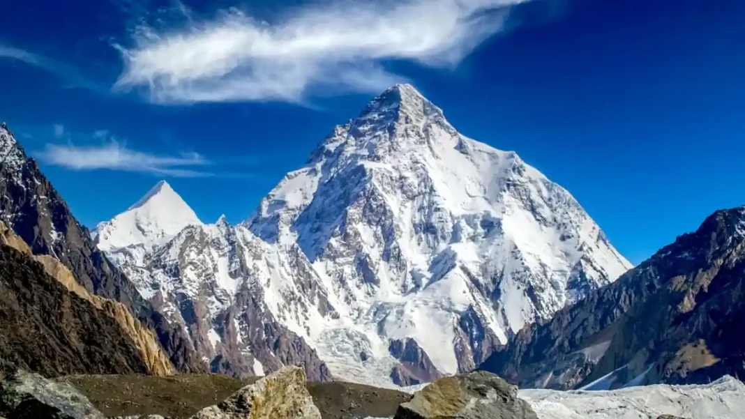
| Northern mountains | Gilgit-Baltistan, upper KP | Himalaya, Karakoram, Hindu Kush; K2 (8,611 m) |
| Potohar Plateau | Northern Punjab | Undulating plateau; Salt Range; Khewra mines |
| Indus Plain | Punjab & Sindh | Flat alluvial farmland; the agricultural heartland |
| Balochistan Plateau | Western Pakistan | Arid high plateau; Chagai hills; mineral wealth |
| Thar Desert | SE Sindh | Sand dunes; Tharparkar; coal reserves |
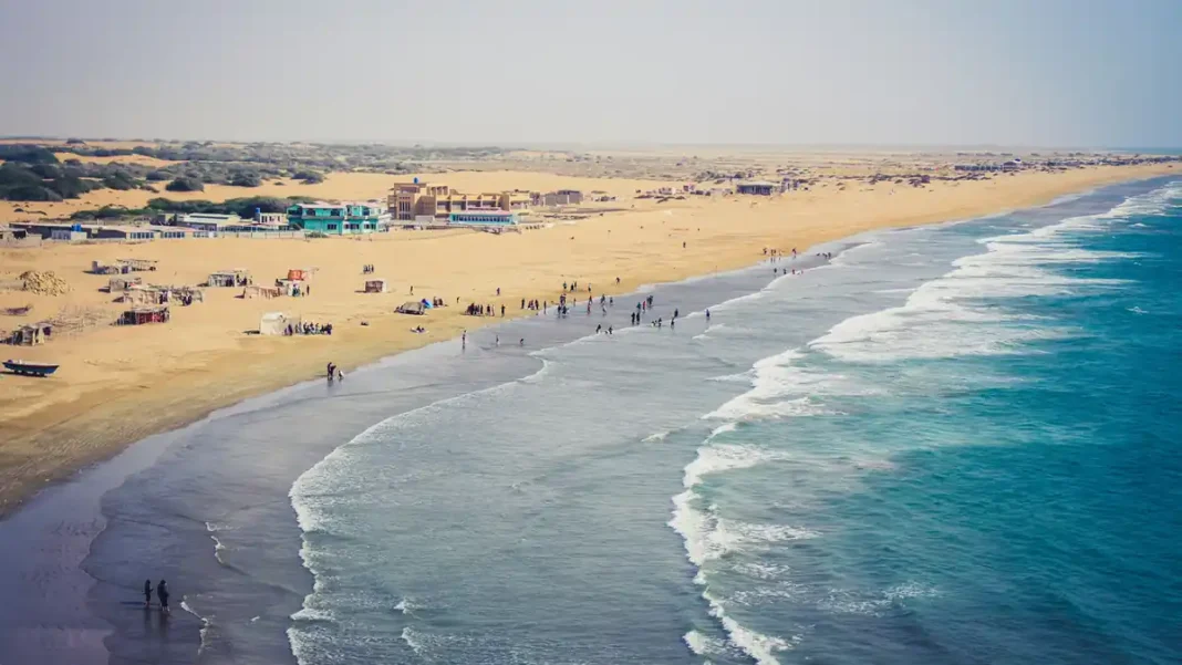
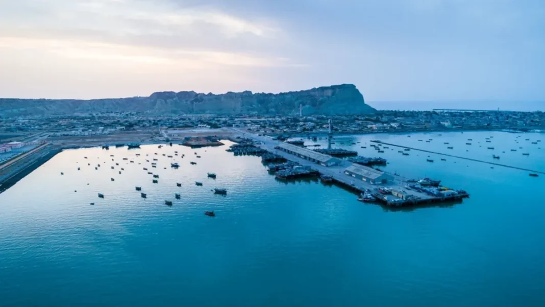
| Coastal belt | Sindh & Balochistan | 1,046 km Arabian Sea coast; ports; mangroves |
Geographical extremes
- Highest point: K2, 8,611 m (Karakoram, Gilgit-Baltistan)
- Lowest point: sea level, Arabian Sea coast
- Longest river: Indus, ~3,180 km total (about 2,900 km in/around Pakistan)
- Largest desert: Thar (shared with India)
- Wettest place: Murree hills / north-east Punjab monsoon belt
- Driest place: Nok Kundi, Balochistan
Frequently asked questions
How many geographical regions does Pakistan have?
Six commonly recognised regions: northern mountains, Potohar Plateau, Indus Plain, Balochistan Plateau, Thar Desert and the coastal belt.
What is the highest point in Pakistan?
K2 at 8,611 metres in the Karakoram range — the world’s second-highest mountain.