The Arabian Sea is on the south side of Pakistan. It is the country’s entire southern border — and the single most-mixed-up direction in Pakistani geography quizzes.
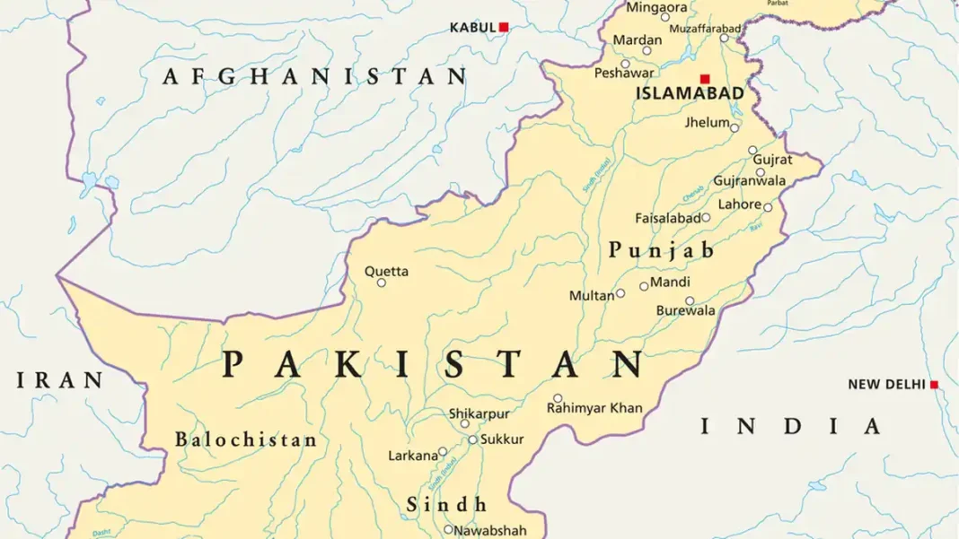
Quick answer: The Arabian Sea lies to the south of Pakistan — the 1,046 km coastline from Sir Creek (east) to Gwadar Bay (west) is the country’s southern frontier.
Reading the map correctly
On every standard map, Pakistan’s shape points south toward the sea: the Indus flows south through Punjab and Sindh and empties into the Arabian Sea through its delta. The coastline is the base of the country’s triangle, with the mountains (Karakoram, Himalaya, Hindu Kush) forming the northern apex.
Coastal cities, east to west
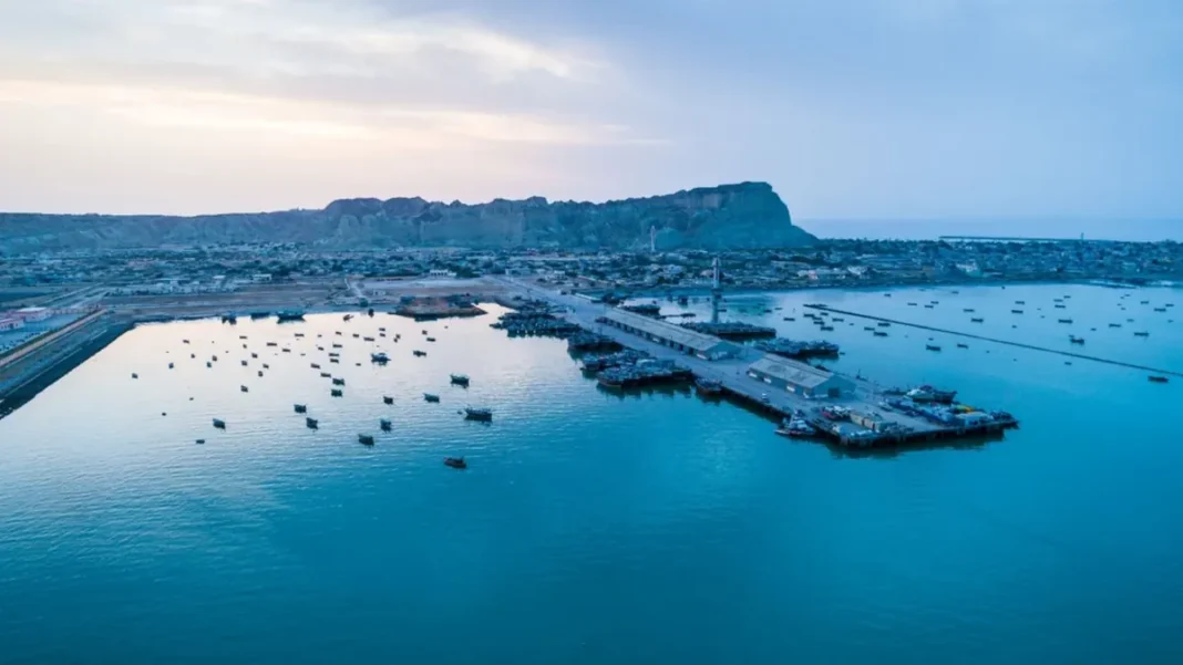
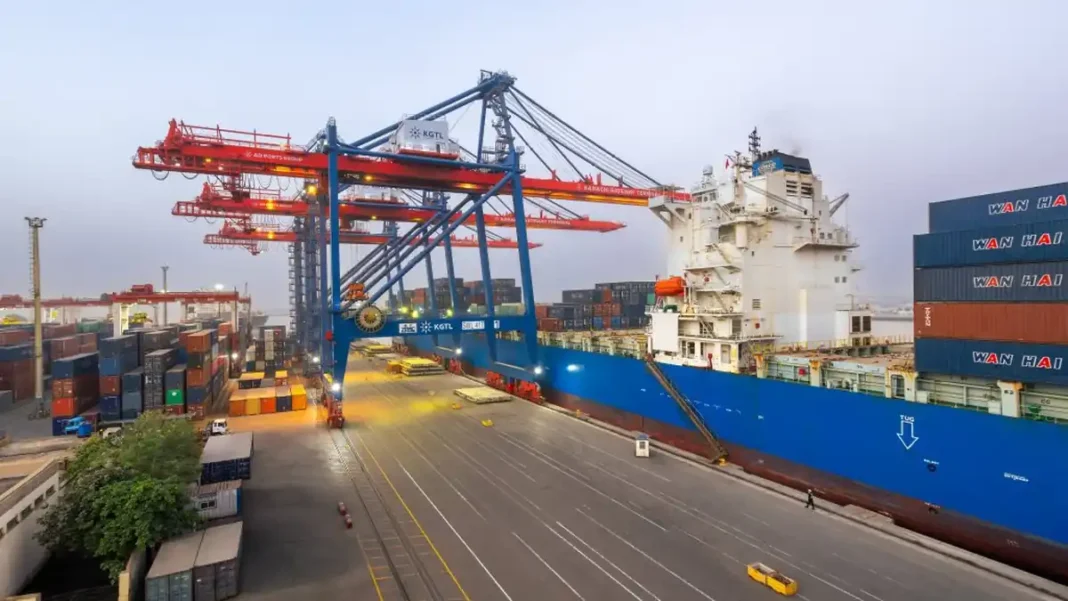
Travelling the coast from east to west: Keti Bandar and the Indus Delta creeks → Karachi (the megacity) → Port Qasim → the Hingol coast and Kund Malir → Ormara → Pasni → Gwadar → Jiwani near the Iranian border. Every one of them faces south onto the Arabian Sea.
Why the direction gets mixed up
Two confusions recur in exams: (1) calling the sea “south-west” — the Makran coast does angle westward, but the sea itself is south; (2) naming the Indian Ocean instead of the Arabian Sea — true in the broad sense, but the examined answer is Arabian Sea, south.
Frequently asked questions
On which side is the Arabian Sea in Pakistan?
South — the entire southern border of the country.
Which is the southernmost point of Pakistan?
The coast itself — around Sir Creek / Keti Bandar in the south-east, at sea level.