Quick answer: A live map of Pakistan means different things: live traffic (Google Maps, updated continuously), live weather (Zoom Earth, Pakistan Meteorological Department radar), and satellite imagery — which is never truly live on free services. The nearest real thing is Zoom Earth’s near-real-time weather satellite layer, refreshed several times a day.
In this guide
Live traffic maps
Google Maps shows genuinely live traffic across Pakistan’s cities and motorways — green, orange and red flows on the M-2, Karachi’s Shahrah-e-Faisal, Lahore’s Canal Road and beyond, fed by anonymised phone location data. It is the one “live map” that truly deserves the name, and the only one most drivers need.
Live weather and rain
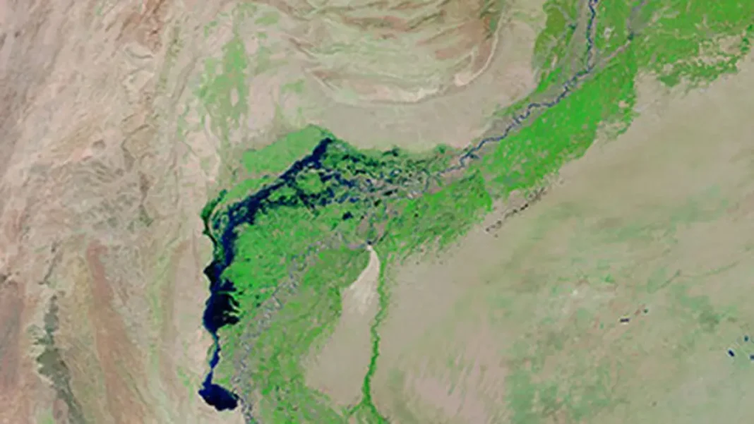
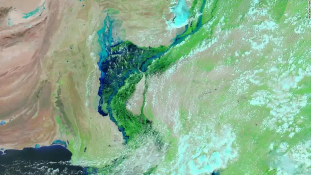
For weather, Zoom Earth (zoom.earth) animates satellite cloud imagery over Pakistan in near-real time, and the Pakistan Meteorological Department publishes radar and satellite products on pmd.gov.pk. During monsoon season these are the maps that matter — the 2022 floods were tracked day by day on exactly these feeds.
The truth about live satellite
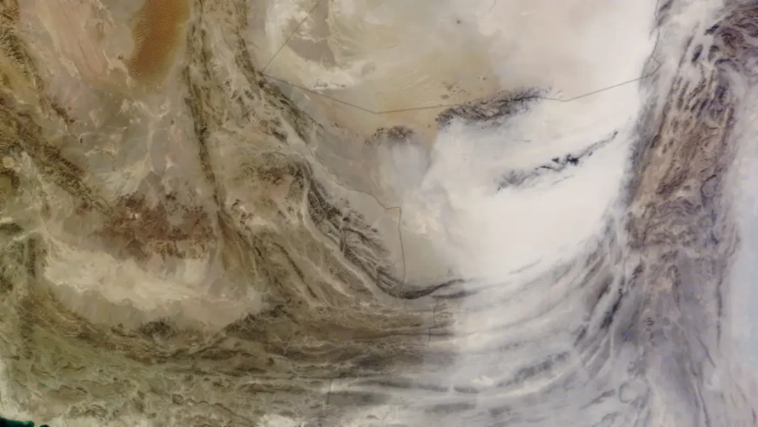
High-resolution optical satellite imagery — the kind where you can see houses — is weeks to months old on every free service, Google Maps included. Satellites revisit, images are processed, and tiles are published in batches. “Live Earth” apps in app stores overwhelmingly show this cached imagery with a live label; read their reviews and you’ll see the complaints. True real-time optical video from orbit exists only in military and expensive commercial systems.
Best live map setup
For the practical best of all worlds: Google Maps for live traffic, Zoom Earth for live weather satellite, and NASA Worldview for daily true-colour passes. That trio covers everything a “live map of Pakistan” can honestly offer. For the wider satellite story, see the full Pakistan satellite map guide.
Related guides
Frequently asked questions
Is there a live satellite map of Pakistan?
No free service offers truly live optical satellite imagery. Zoom Earth gives near-real-time weather satellite views; Google Maps satellite imagery is high-resolution but weeks to months old.
How can I see live traffic in Pakistan?
Google Maps with the traffic layer on — it shows live congestion on motorways and city roads across Pakistan.
Where can I see live weather satellite over Pakistan?
Zoom Earth (zoom.earth) for animated satellite weather, or the Pakistan Meteorological Department (pmd.gov.pk) for official radar and satellite products.