Quick answer: A Pakistan satellite map shows one of the most readable countries on Earth from orbit: the green Indus ribbon running its full length, the white Karakoram–Himalaya crown in the north, brown Balochistan in the west and the Thar Desert in the east. View it free on Google Maps (Satellite), Google Earth, Zoom Earth or NASA Worldview.
Reading the satellite image
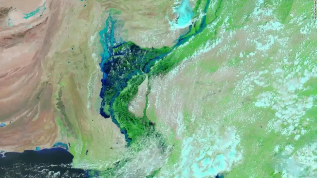
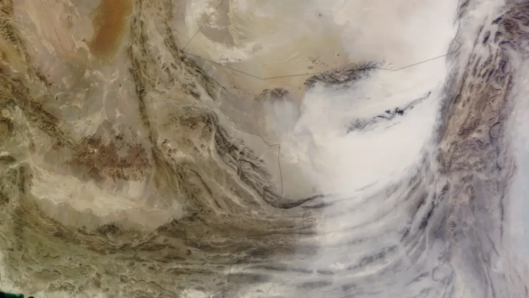
Start with the country’s skeleton. The Indus River draws a green line 3,180 km from the mountains to the Arabian Sea — every major city except Quetta sits on or near it. North of about 34° N the green gives way to the permanent snow of the Karakoram, Himalaya and Hindu Kush, home to K2 (8,611 m) and Nanga Parbat (8,126 m). West of the Indus lies the arid Balochistan plateau, folded ranges and dry lake beds stretching to Iran and Afghanistan. East of the river, the Thar Desert’s dunes ripple across the Sindh border into India.
Season changes the picture: winter satellite passes show snow pushing south and a grey smog lid over Punjab; summer monsoon images show cloud building over the north; and in dry months, dust plumes stream off the deserts across the plains.
Cities from above
Pakistan’s cities are easy to pick out once you know the pattern. Karachi (24.86° N, 67.01° E) is the grey sprawl on the coast with the Indus delta fanning east. Lahore (31.55° N, 74.36° E) sits as a dense mass near the eastern border, wrapped in farmland. Islamabad (33.73° N, 73.09° E) shows its planned grid against the dark Margalla Hills. Quetta (30.18° N, 66.97° E) is the lone urban island in brown Balochistan. At full zoom on Google Maps satellite view, individual streets, stadiums and even Faisal Mosque’s triangular roof resolve clearly.
Where to view it free
Google Maps (satellite layer) is the fastest route to any address; Google Earth adds 3D terrain and historical imagery so you can compare years. Zoom Earth overlays near-real-time weather on high-resolution base maps. NASA Worldview gives true daily passes for watching weather systems move. For the complete guided tour — including the truth about “live” maps — see the full Pakistan satellite map guide.
Related guides
Frequently asked questions
How do I open a satellite map of Pakistan?
Open Google Maps, tap the layers icon and choose Satellite — then search any Pakistani city or drag to explore.
What is the big green line across Pakistan in satellite images?
The Indus River valley — irrigated farmland along the 3,180 km river, the greenest feature in the country from orbit.
Can I see K2 on a satellite map?
Yes — search 35.88° N, 76.51° E in Google Earth. You’ll see glacier country on the Pakistan-China border; the peak itself hides among the ridges.