A political map of Pakistan answers a different question from a physical one: not what the land looks like, but who governs what. It draws the international boundaries, the provincial borders, the capitals and the disputed stretches — and every one of those lines has a history. Here is how to read it.
Quick answer: The Pakistan political map shows four provinces (Punjab, Sindh, Khyber Pakhtunkhwa, Balochistan), two territories (AJK, Gilgit-Baltistan), the Islamabad Capital Territory, and international boundaries with India, Afghanistan, Iran and China — plus the disputed Kashmir region.
In this guide
What a Political Map Shows
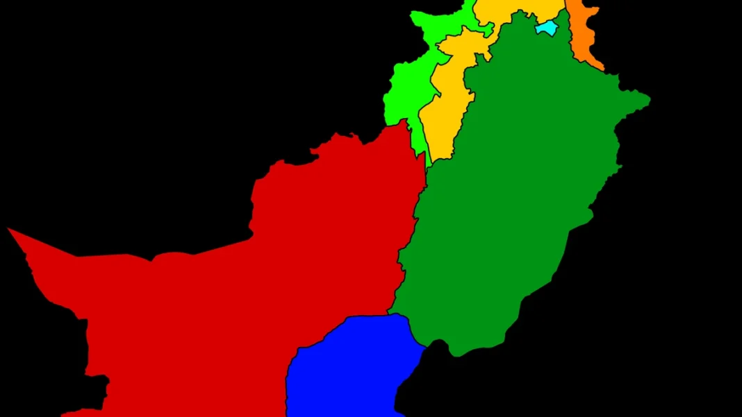
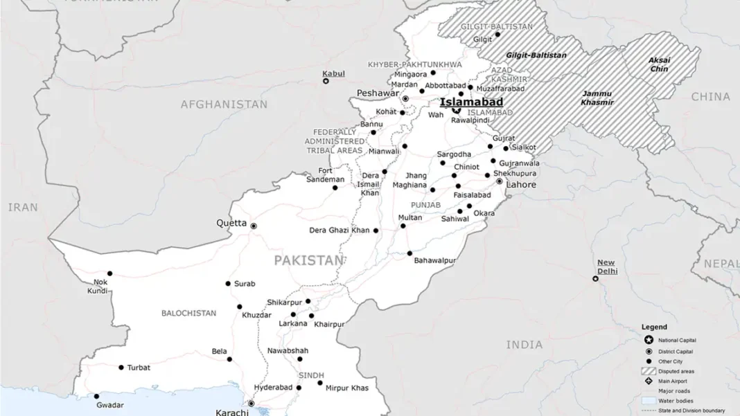
Unlike a physical map (mountains, rivers, deserts), a political map of Pakistan is about authority: where one province ends and another begins, where Pakistan ends and its neighbours begin, and which cities serve as capitals. The standard elements are:
- International boundaries with India, Afghanistan, Iran and China
- The four provincial boundaries and their capitals: Lahore, Karachi, Peshawar and Quetta
- The federal capital, Islamabad
- Azad Jammu and Kashmir and Gilgit-Baltistan, shaded as administered territories
- The Line of Control and the Working Boundary with India
Pakistan’s current official political map dates from 4 August 2020, when the federal cabinet approved the revised version — see our official map guide for every change it introduced.
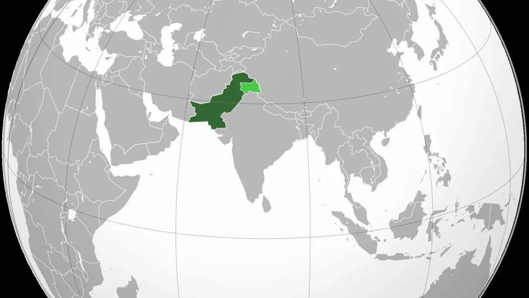
International Boundaries
Pakistan’s four land boundaries each tell a story:
- India (~2,912 km): the Radcliffe Line through Punjab and Sindh, plus the Line of Control across Kashmir — one of the world’s most militarised frontiers.
- Afghanistan (~2,640 km): the Durand Line, agreed in 1893 between British India and Afghanistan; Kabul has never formally recognised it.
- Iran (~909 km): a desert boundary through Balochistan, largely peaceful, with the Taftan crossing as the trade artery.
- China (~596 km): a high-mountain boundary settled by the 1963 border agreement, crossed by the Karakoram Highway at Khunjerab.
More detail on each neighbour is in our neighbouring countries of Pakistan guide.
Internal Boundaries
Inside the country, the political map divides Pakistan into its federating units. The Punjab–Sindh border runs through the southern Indus plain; Sindh–Balochistan through the Kirthar Range; Punjab–Khyber Pakhtunkhwa across the Salt Range and the Indus; and Balochistan wraps around the west and south-west. The 2018 merger of the former Federally Administered Tribal Areas into Khyber Pakhtunkhwa redrew the provincial map for the first time in decades, extending the province to the Afghan border.
Frequently Asked Questions
Why do maps of Pakistan look different in different countries?
Because Kashmir is disputed. Pakistani maps show all of Jammu and Kashmir as Pakistani or disputed territory awaiting a UN-mandated settlement; Indian maps show it as Indian; many international publishers shade it as disputed. The underlying geography is the same — the politics of the lines is not.
What is the capital of Pakistan?
Islamabad, purpose-built in the 1960s and the federal capital since 1967. Karachi was the first capital (1947–1959), followed briefly by Rawalpindi as interim capital (1959–1967).