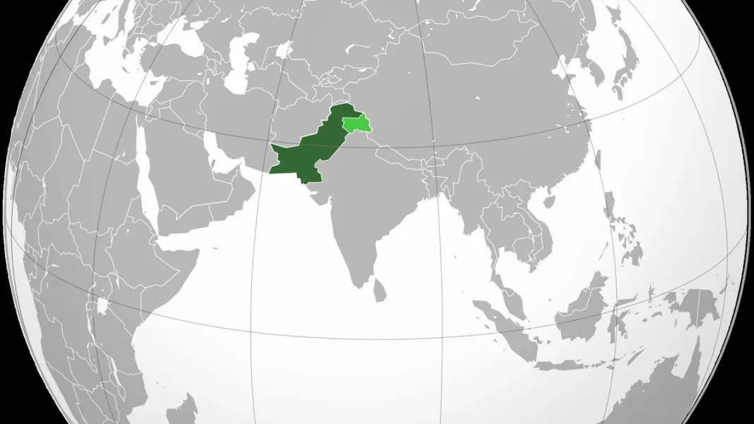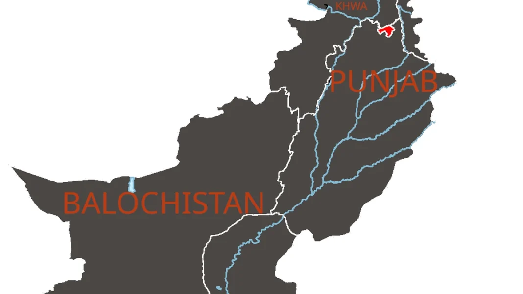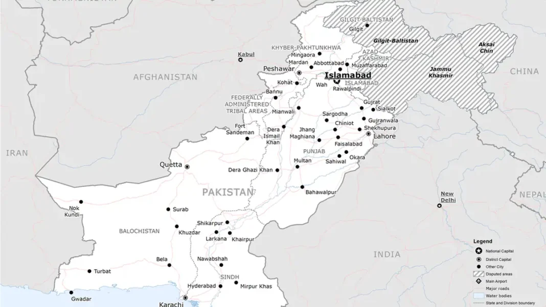
Every country has an official map — the version its government stands behind. Pakistan’s was redrawn on 4 August 2020, when Prime Minister Imran Khan unveiled a new political map approved by the federal cabinet. This guide goes through it line by line: what changed, what each label means, and why it still matters.
Quick answer: Pakistan’s official map was approved on 4 August 2020. It labels the eastern region “Indian Illegally Occupied Jammu and Kashmir” (disputed, final status per UNSC resolutions), shows Junagadh as Pakistani, draws Sir Creek’s boundary on the eastern bank, includes Siachen, and marks the China border “Frontier Undecided“.
In this guide
The Unveiling
On 4 August 2020, Prime Minister Imran Khan presented the new political map at a ceremony in Islamabad, flanked by Foreign Minister Shah Mahmood Qureshi. The timing was deliberate: the next day marked one year since India revoked the special constitutional status of Jammu and Kashmir in August 2019. Khan called it a historic day, saying the cabinet, the opposition and the Kashmiri leadership had all endorsed the map, and that it would be raised at the United Nations. The map was ordered into use in schools and educational institutions across the country.
The Map, Line by Line
- Kashmir: the entire former princely state is shown within Pakistan’s outline, labelled “Indian Illegally Occupied Jammu and Kashmir” with the note “Disputed Territory — final status to be decided in line with the relevant UNSC resolutions”. The Line of Control is drawn as a red dotted line, extended north to the Karakoram Pass to include Siachen.
- Junagadh and Manavadar: shown as part of Pakistan — a claim dating to 1947, when the Muslim ruler of the Hindu-majority state acceded to Pakistan before Indian forces took control. A plebiscite in February 1948 went overwhelmingly for India.
- Sir Creek: the 96-km tidal estuary between Sindh and Gujarat is drawn with the boundary on its eastern bank — Pakistan’s long-held position, which would give it a larger exclusive economic zone in the Arabian Sea.
- Siachen: the glacier battlefield is shown inside Pakistan, with the LoC’s dotted line running up to the Karakoram Pass.
- China frontier: left as “Frontier Undecided” where the Shaksgam valley meets the border settled in the 1963 agreement.
For the political backstory, read our new map of Pakistan guide.
How the World Reacted
India’s foreign ministry dismissed the map as “an exercise in political absurdity” with “neither legal validity nor international credibility”. Pakistan’s foreign minister said the country had, for the first time, placed its position on Kashmir openly before the world. Analysts noted the map’s real audience was domestic and Kashmiri — a cartographic statement of Pakistan’s claim rather than a document with international legal force. Six years on, it remains the map in Pakistani textbooks.
Frequently Asked Questions
Is the 2020 map still the official map of Pakistan?
Yes. As of October 2026, the political map approved by the federal cabinet on 4 August 2020 remains Pakistan’s official map, used in government publications and school textbooks.
Where is the official map used?
In Pakistani school textbooks, government offices, official publications and diplomatic presentations. The 2020 unveiling specifically directed its use in educational institutions nationwide.