Iran is the country directly west of Pakistan. But the full answer — the one that covers the whole compass — is worth knowing properly.
Quick answer: Iran lies to the west of Pakistan, sharing a ~912 km border from the Arabian Sea at Gwadar Bay to the Afghan tripoint. Afghanistan is north-west, China north-east, India east, and the Arabian Sea south.
In this guide
West of Pakistan: Iran
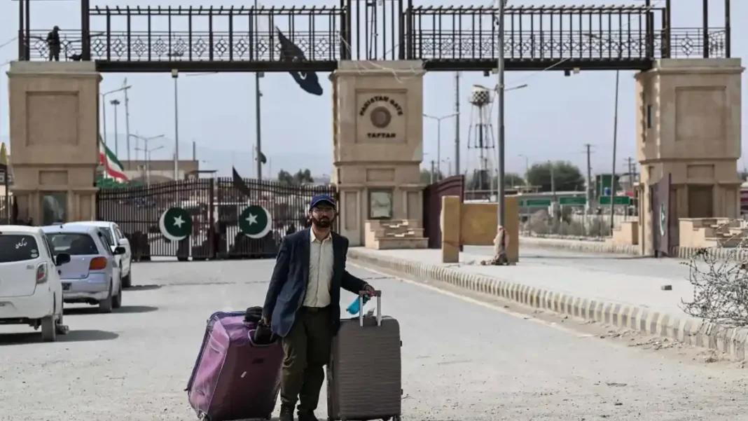
The Pakistan–Iran border runs about 912 km, from Gwadar Bay on the Arabian Sea north to the tripoint with Afghanistan. It is demarcated by the historic Goldsmid Line (1871–72). The main crossing is at Taftan (Pakistan) / Mirjaveh (Iran) in Balochistan — the gateway for trade and for pilgrims travelling to Iran and Iraq.
Every direction from Pakistan
| Direction | Neighbour | Border |
|---|---|---|
| West | Iran | ~912 km |
| North-west | Afghanistan | ~2,643 km (Durand Line) |
| North-east | China | ~510–596 km (Khunjerab) |
| East | India | ~2,910 km |
| South | Arabian Sea | 1,046 km coastline |
Crossing the western border
The Taftan–Mirjaveh crossing handles trade (including the Pakistan–Iran gas pipeline corridor discussions and barter trade mechanisms) and pilgrim traffic to holy sites in Iran and Iraq. The border region is also a long-standing security concern, with smuggling and militancy prompting fencing and tighter controls in recent years.
Frequently asked questions
Which country is located in the west of Pakistan?
Iran — a ~912 km border from Gwadar Bay to the Afghan tripoint.
Which country is in the north of Pakistan?
Afghanistan (north-west, Durand Line) and China (north-east, Karakoram).