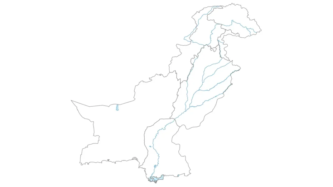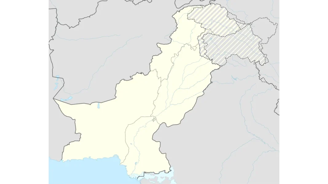
Quick answer: On a Pakistan map outline with provinces, the interior divides into: Balochistan (the whole west, ~44% of the area, capital Quetta), Sindh (southeast, Karachi), Punjab (east-central, Lahore), Khyber Pakhtunkhwa (northwest, Peshawar), Gilgit-Baltistan (far north, Gilgit) and Azad Jammu & Kashmir (northeastern wedge, Muzaffarabad) — with Islamabad starred as the federal capital.
Dividing the outline
Start from the finished country outline. Draw Balochistan first — a huge region taking the entire western half, bounded by Iran, Afghanistan and the Makran coast; its eastern edge runs roughly north-south through the middle of the country. What remains east of that line splits into Sindh (bottom), Punjab (middle-east) and KP (upper-west of the remainder), with Gilgit-Baltistan capping the top and AJK as the wedge between GB and Punjab.
Each province’s position
Balochistan — west, largest, sparsely populated, Quetta near its northeast. Sindh — southeast, the Indus delta and Karachi on the coast. Punjab — east-central, the fertile plain of the five rivers, Lahore near its eastern edge. KP — northwest, Peshawar in its eastern vale near the Khyber. Gilgit-Baltistan — the far-northern mountain block. AJK — the thin wedge along Punjab’s northeast.
Capitals placement
Place dots carefully — this is where exams are won: Quetta (upper Balochistan), Karachi (southern Sindh coast), Lahore (eastern Punjab), Peshawar (eastern KP), Gilgit (central GB), Muzaffarabad (western AJK), and Islamabad with a star just north of Punjab’s centre. The classic error is swapping Quetta and Peshawar — say the positions aloud as you draw.
Neighbours and seas
Label the four neighbours outside the outline — China (northeast, beyond GB), India (east), Iran (southwest), Afghanistan (northwest) — and the Arabian Sea below the coast. Note: international boundaries follow Pakistan’s official position; some are disputed. For drawing technique, see the full Pakistan map drawing guide.
Related guides
Frequently asked questions
How many provinces are there in Pakistan?
Four provinces — Balochistan, Punjab, Sindh and Khyber Pakhtunkhwa — plus the territories of Gilgit-Baltistan and Azad Jammu & Kashmir and the federal capital Islamabad.
Which is the largest province of Pakistan?
Balochistan — about 44% of Pakistan’s total area, covering the entire west of the country.
What are the capitals of Pakistan’s provinces?
Quetta (Balochistan), Lahore (Punjab), Karachi (Sindh), Peshawar (KP), Gilgit (Gilgit-Baltistan) and Muzaffarabad (AJK).