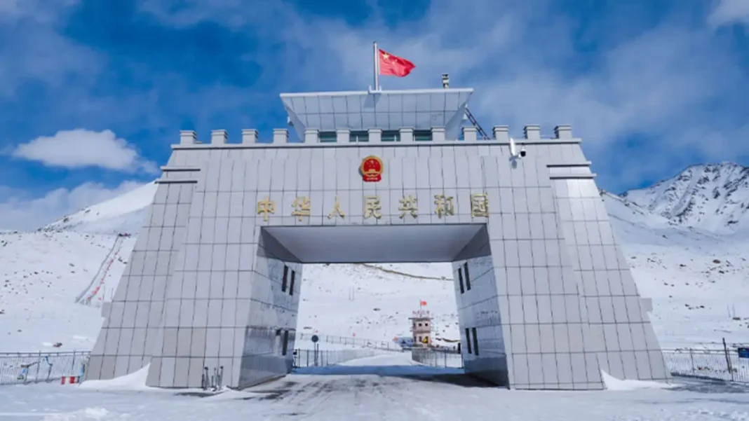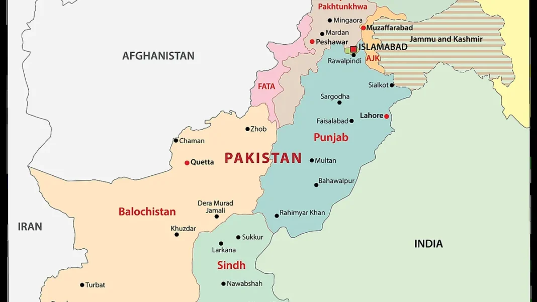
Quick answer: On the map, the Pakistan-China border is a 596 km line along the Karakoram watershed, entirely within Gilgit-Baltistan — from the Afghan tripoint in the west to the disputed Indian tripoint near Siachen in the east. Its single road crossing is Khunjerab Pass (4,693 m) on the Karakoram Highway.
In this guide
Reading the border line
On any accurate political map, the Pakistan-China boundary appears as a short, high arc across the top of Gilgit-Baltistan. The line follows the main Karakoram watershed: everything draining south into the Indus system lies in Pakistan; everything draining north into the Tarim basin lies in China. That natural divide — a wall of glaciers and peaks including the approaches to K2 — is what makes the border so hard to cross and so easy to defend.
The western anchor is the tripoint with Afghanistan, where the Wakhan Corridor nearly touches Pakistan. The eastern anchor is the disputed tripoint with India near the Siachen Glacier — disputed because India claims the Shaksgam Valley and does not recognise the 1963 line.
Districts on both sides
On Pakistan’s side, four Gilgit-Baltistan districts touch the line: Hunza (which hosts Khunjerab and the Sost dry port), Nagar, Shigar and Ghanche. Across the line, China’s Kashgar Prefecture in Xinjiang faces them — principally Taxkorgan Tajik Autonomous County and Kargilik (Yecheng) County. The contrast on the map is striking: Pakistan’s side is a thin strip of inhabited valleys; China’s side opens onto the high Pamir plateau.
Passes and crossings
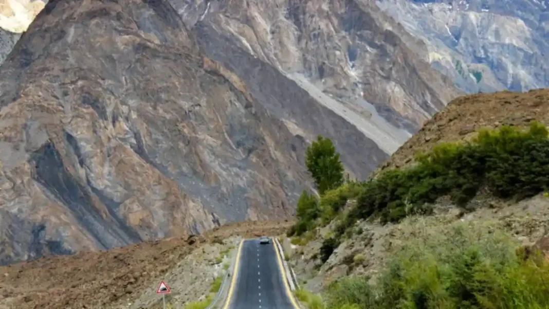
Despite the 596 km length, the map shows just one usable road crossing: Khunjerab Pass (4,693 m / 15,397 ft) on the Karakoram Highway, between Sost and Tashkurgan. The historic Karakoram Pass (5,540 m) further east lies on the India-China line in Ladakh, not the Pakistan-China line, and is not an open crossing. Khunjerab operates roughly May to November; a daily Gilgit–Kashgar bus has run since 1 June 2006.
How the map got its shape
The line on today’s map was drawn by the Sino-Pakistan boundary agreement of 2 March 1963. Pakistan ceded the Shaksgam Valley (the Trans-Karakoram Tract) to China, and joint survey teams demarcated the watershed line over the next two years. Before 1963 the frontier was simply shown as undefined. India continues to show the Shaksgam area as part of Ladakh on its own maps — the one cartographic disagreement that remains.
For lengths, comparisons and travel guidance, see the complete Pakistan-China border guide.
Related guides
Frequently asked questions
Where is Khunjerab Pass on the map?
Khunjerab Pass sits at the northern tip of Hunza district, Gilgit-Baltistan, on the Karakoram Highway between Sost (Pakistan) and Tashkurgan (Xinjiang, China), at 36°51′N 75°25′E and 4,693 m elevation.
Which districts of Pakistan border China?
Hunza, Nagar, Shigar and Ghanche — all four are districts of Gilgit-Baltistan along the 596 km Karakoram line.
Is there more than one crossing between Pakistan and China?
No. Khunjerab Pass is the only road crossing on the Pakistan-China border. All trade and passenger traffic uses the Karakoram Highway through it.