Quick answer: The Pakistan-China border is 596 kilometres (370 miles) long. The figure is the settled length fixed after the 1963 Sino-Pakistan boundary agreement; older books printing 585 km and some Indian references printing 523 km measure differently or count a different line.
How the 596 km is measured
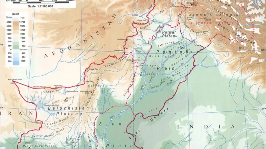
The 596-kilometre figure measures the demarcated line agreed between Pakistan and China under the boundary agreement of 2 March 1963 and marked by joint survey teams in 1963–65. The line starts at the tripoint with Afghanistan in northern Gilgit-Baltistan and runs east along the main Karakoram watershed to the disputed tripoint with India near the Siachen Glacier.
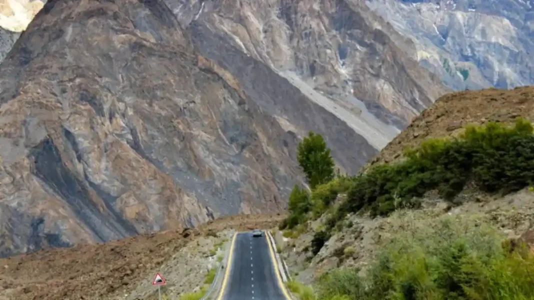
Because the boundary follows a jagged mountain ridgeline — glaciers, spurs and 7,000-metre massifs — the distance is a survey figure, not a straight-line one. Cartographers measuring along the watershed arrive at 596 km; anyone drawing a simplified line on a small-scale map gets a shorter number, which is where much of the confusion begins.
Why figures differ
Three rival numbers circulate, and each has an explanation:
- 596 km — the settled figure, used in Pakistani textbooks, CSS/PMS preparation and international references including encyclopaedias.
- 585 km — appears in some older Pakistani books; a rounded or earlier survey estimate of the same line.
- 523 km — appears in a few Indian sources, which do not recognise the 1963 agreement or Pakistan’s control of the Shaksgam Valley, and therefore measure a different, shorter line.
For examinations and publication, 596 km (370 miles) is the correct answer.
The border in context
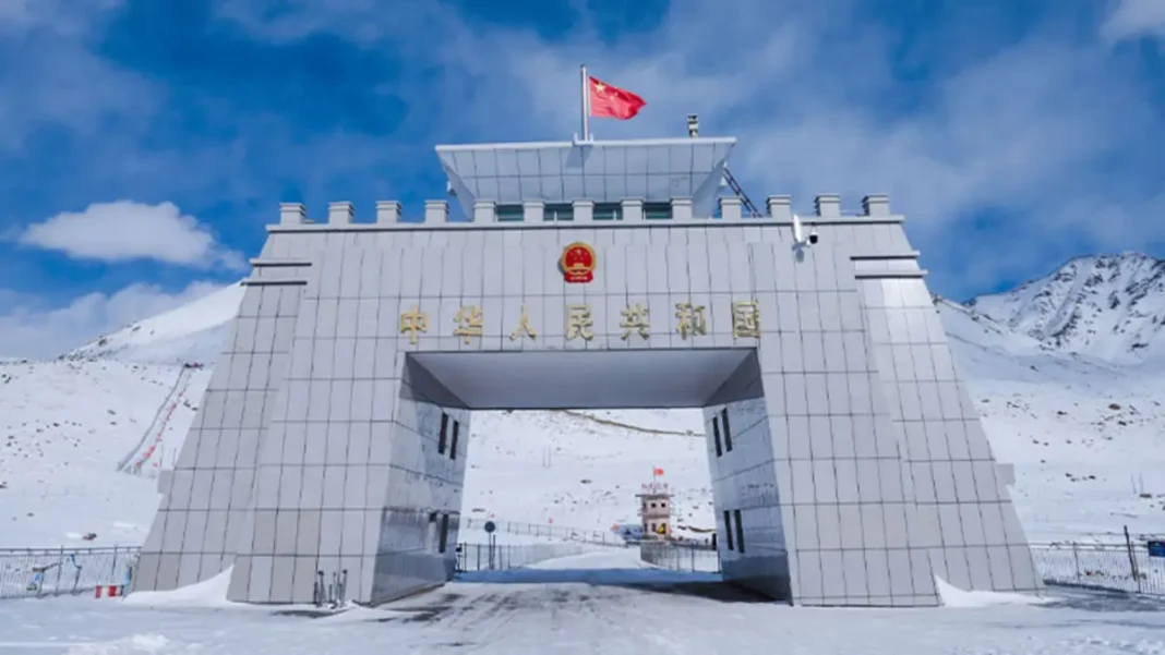
At 596 km, the China frontier is Pakistan’s shortest international border — barely a fifth of the 2,912 km border with India and a quarter of the 2,430 km Durand Line with Afghanistan. But length understates its importance: it is Pakistan’s only land link to China, the gateway of the China-Pakistan Economic Corridor, and its single crossing — Khunjerab Pass at 4,693 m — is the highest paved border crossing on the planet.
For the full picture — the 1963 agreement, the Khunjerab crossing, the Karakoram Highway and travel guidance — see the complete Pakistan-China border guide.
Who maintains the line today
Unlike Pakistan’s borders with India or Afghanistan, the China frontier is a quiet border. Both countries station border forces at Khunjerab — Pakistan’s side is managed with support from the Gilgit-Baltistan Scouts and customs authorities at Sost — but there is no fencing, no shelling and no dispute between the two capitals. Joint flag meetings and the settled 1963 demarcation keep the 596 km line one of the most stable frontiers in the region.
The line’s real activity is economic. Under CPEC, Khunjerab has been upgraded with expanded customs and immigration facilities at Sost, and pilot projects for year-round opening have been discussed by both governments — though as of October 2026 the pass still closes in winter. Every truck that climbs from Sost to the gate at 4,693 m travels the full length of the corridor this short border makes possible.
Related guides
Frequently asked questions
What is the exact length of the Pak-China border?
596 kilometres (370 miles) — the settled figure fixed by the 1963 Sino-Pakistan boundary agreement and the joint demarcation that followed.
Which is Pakistan’s shortest border?
The Pakistan-China border (596 km) is the shortest of Pakistan’s four international land borders, ahead of the Iran border (909 km).
Is the Pak-China border 585 km or 596 km?
596 km is the settled, widely cited length. The 585 km figure comes from older Pakistani texts and is an earlier or rounded estimate of the same line.