Pakistan Map Download: Free Colour Map Files for Print & Slides
Need a Pakistan map for a presentation, classroom wall, report or website? This guide lists the best free, openly licensed Pakistan map files — including the official 2020 political map in the public domain — with print tips so your map comes out sharp at any size.
Quick answer: The best free Pakistan map download is the official 2020 political map on Wikimedia Commons, released under CC0 (public domain) — free for any use, including commercial. For editable colour maps, use the provinces outline SVG (CC BY-SA 4.0, credit required).
In this guide
The Best Free Map Files
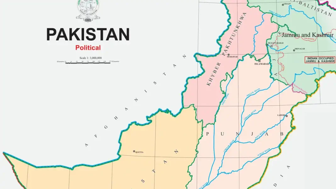
Official Political Map of Pakistan 2020 (CC0 — public domain)
The government-released official map, hosted on Wikimedia Commons at high resolution (3939 × 4121 px). Because it is CC0, you may download, print, modify and republish it freely — in textbooks, on websites, even commercially — with no permission or attribution required. Search Wikimedia Commons for “Official Political Map of Pakistan 2020”.
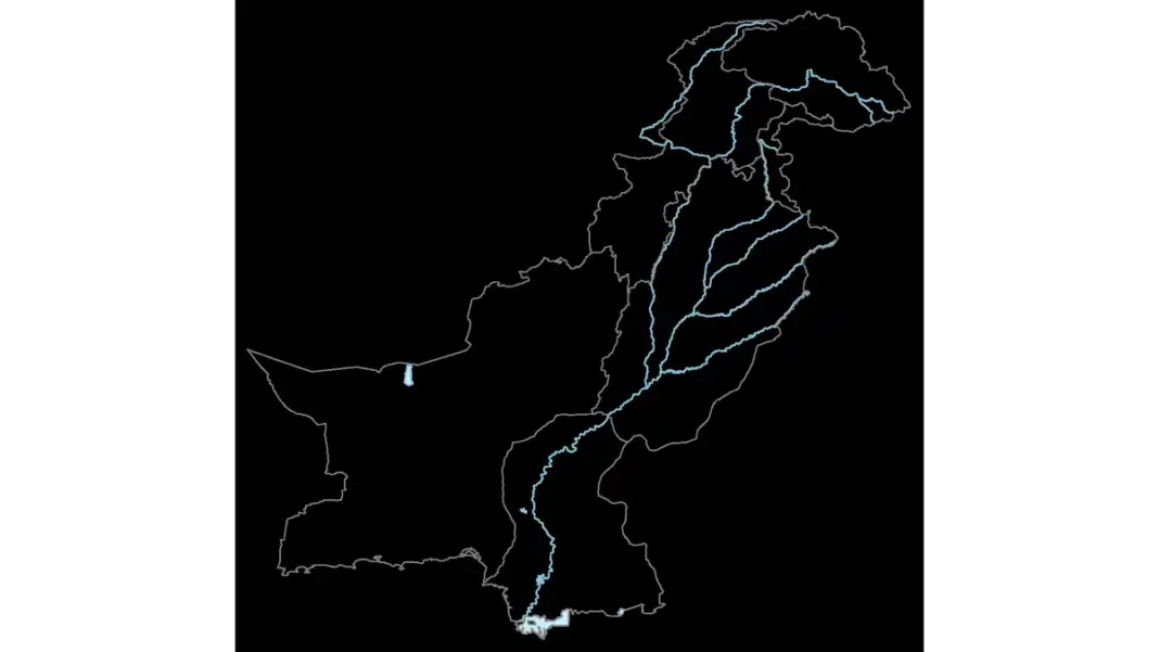
Pakistan provinces outline map (SVG, CC BY-SA 4.0)
An editable vector outline of the provinces — ideal if you want to apply your own colour scheme in Illustrator, Inkscape or PowerPoint. Vector files scale to any size without losing sharpness. Licence: credit the author and share adaptations under the same licence.
Blank outline maps (various CC licences)
For quizzes, worksheets and colouring activities, blank Pakistan outlines are available on Commons — check each file’s licence line before classroom distribution.
Licences Explained
- CC0 / Public domain: do anything — no credit needed. The 2020 official map qualifies.
- CC BY: free to use, but credit the author.
- CC BY-SA: free to use with credit; modified versions must carry the same licence.
- All rights reserved / no licence: never download from random image sites — most “free Pakistan map” results are copyrighted scans.
Print Tips
- Match resolution to size. The 2020 official map at 3939 × 4121 px prints crisply up to about A2; for wall-size posters, use the vector SVG instead.
- Print in colour, obviously — a colour political map in greyscale loses all meaning. Use the colour-coded provinces guide to label regions correctly.
- Check the date. Classroom maps older than 2018 still show FATA; use the 2020 official map for current boundaries.
- Add a source line. Even for CC0 files, a small “Source: Survey of Pakistan, 2020” line under a classroom map builds trust.
Choosing the Right Map for Your Use
- School project / CSS prep: the colour-coded provinces map with capitals labelled.
- Presentation slide: the SVG outline with your own brand colours.
- News article: the official 2020 map (current, authoritative, public domain).
- Worksheet: a blank outline for labelling practice.
Frequently Asked Questions
Is the Pakistan map free to download?
Yes — the official 2020 political map is CC0 (public domain) on Wikimedia Commons, free for any use. Other files carry Creative Commons licences; check each file’s licence line.
Can I use a Pakistan map on my website or YouTube thumbnail?
With the CC0 official map, yes — even commercially, with no attribution required. For CC BY / CC BY-SA files, add the credit line and (for BY-SA) share adaptations under the same licence.
What size should I print a Pakistan map?
The 3939 × 4121 px official map prints sharply to about A2. For larger formats, use a vector (SVG) outline, which scales infinitely.