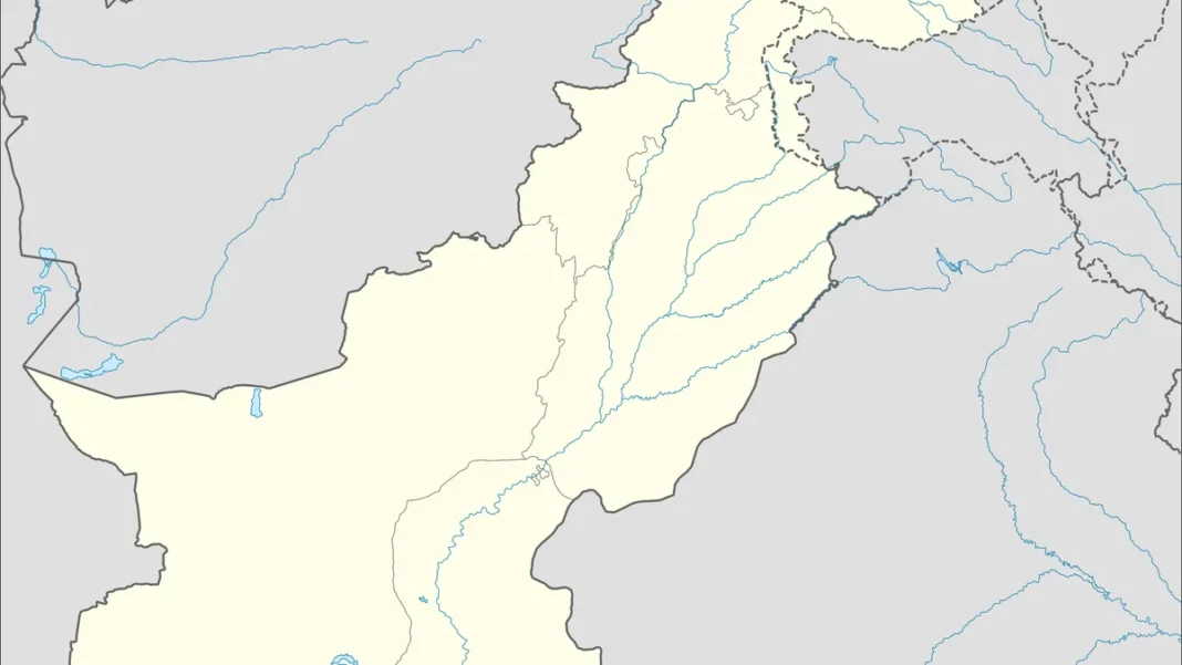
Search ‘Pakistan states’ and you’ll find a common confusion: Pakistan has no states — it has provinces. The mix-up comes from India’s ‘states’ next door. This guide clears it up: what Pakistan’s divisions actually are, and why the wording matters.
Quick answer: Pakistan has no states — it has 4 provinces (Punjab, Sindh, Khyber Pakhtunkhwa, Balochistan) plus the Islamabad Capital Territory, Gilgit-Baltistan and Azad Jammu & Kashmir. ‘States’ is the Indian/American term; Pakistan’s Constitution says ‘provinces’.
In this guide
Why No ‘States’
Pakistan’s Constitution divides the federation into provinces — the term inherited from British India, where British-administered areas were “provinces” and princely areas were “states”. At independence, Pakistan’s princely states (Bahawalpur, Khairpur, Kalat and others) acceded and were merged into provinces — most famously in 1955’s One Unit scheme and its 1970 dissolution. So unlike India (28 states) or the USA (50 states), Pakistan’s first-order divisions are provinces, full stop.
The Four Provinces
- Punjab — capital Lahore; most populous (~127M)
- Sindh — capital Karachi; the Indus delta
- Khyber Pakhtunkhwa — capital Peshawar; the northwest
- Balochistan — capital Quetta; largest by area
Each has its own provincial assembly, chief minister and governor, with wide powers under the 18th Amendment. Full guide: provinces of Pakistan.
Other Territories
Beyond the provinces: the Islamabad Capital Territory (the federal capital), Gilgit-Baltistan (the Karakoram north, with its own assembly) and Azad Jammu & Kashmir (self-governing, with its own president and PM). These aren’t provinces — they have distinct constitutional statuses tied to the Kashmir dispute.
One Unit: When the Map Was Redrawn
Pakistan’s internal map hasn’t always looked like this. In 1955, all of West Pakistan was merged into a single province — One Unit — to balance East Pakistan in the federation. It lasted until 1970, when Yahya Khan dissolved it back into four provinces (and East Pakistan became Bangladesh in 1971). The One Unit era explains why older maps look alien — and why provincial identity runs so deep: today’s provinces were a restoration, not an invention.
One Unit: When the Map Was Redrawn
Pakistan’s internal map hasn’t always looked like this. In 1955, all of West Pakistan was merged into a single province — One Unit — to balance East Pakistan in the federation. It lasted until 1970, when Yahya Khan dissolved it back into four provinces (and East Pakistan became Bangladesh in 1971). The One Unit era explains why older maps look alien — and why provincial identity runs so deep: today’s provinces were a restoration, not an invention.
Frequently Asked Questions
How many states does Pakistan have?
Zero — Pakistan has 4 provinces, not states. The confusion comes from neighbouring India, which does have states.
What are the provinces of Pakistan?
Punjab, Sindh, Khyber Pakhtunkhwa and Balochistan — plus the Islamabad Capital Territory, Gilgit-Baltistan and Azad Jammu & Kashmir.