South Region of Pakistan: What Counts as the South, Mapped
Pakistan has no official line dividing north from south — no provincial border, no census category. Yet when Pakistanis say “the south”, they mean something specific: the coastal plains and river lands below the country’s mountain belt. This guide pins down exactly what the south region of Pakistan covers, why geographers draw the line where they do, and what makes it physically different from the north.
Quick answer: The south region of Pakistan is the southern half of the country: all of Sindh, the southern third of Punjab (Multan, Bahawalpur and Dera Ghazi Khan divisions) and the Makran coast of Balochistan. It is defined by the Arabian Sea coastline (about 1,050 km), the lower Indus plain and an arid-to-coastal climate — flat, hot and river-fed, in contrast to the mountainous north.
In this guide
Where the North-South Line Falls
Geographers usually place the dividing line roughly along the Salt Range and central Punjab — about 31–32°N latitude. Everything north of it rises toward the Himalayas, Karakoram and Hindu Kush; everything south of it drains toward the Arabian Sea. In practical terms, the south begins where the mountains end: southern Punjab’s plains, the whole of Sindh, and Balochistan’s coastal belt. Karachi, at 24.8°N, is the southern anchor; the Makran coast runs west to the Iranian border at 25°N.
The Three Zones of the South
1. The lower Indus plain (Sindh). The Indus, after travelling 3,180 km from Tibet, spreads across Sindh into one of the world’s great river plains. The Sukkur Barrage (1932) and Kotri Barrage feed canal colonies growing rice, wheat, sugarcane and cotton. In the southeast lies the Thar desert, and at the river’s mouth, the Indus delta’s mangrove creeks.
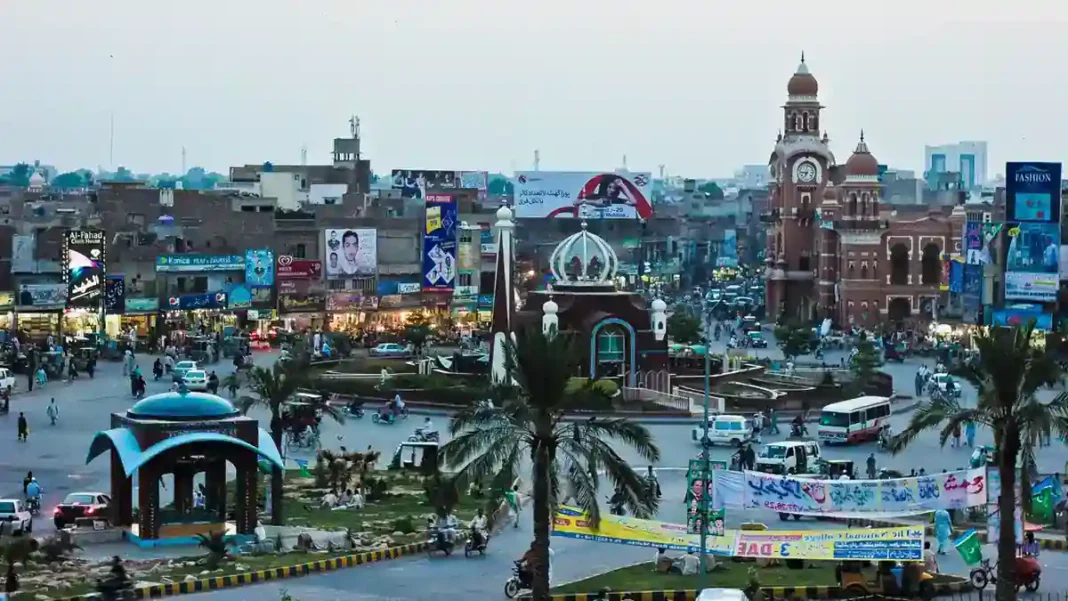
2. South Punjab’s plains and desert fringe. The Multan, Bahawalpur and Dera Ghazi Khan divisions — 11 districts, roughly 52% of Punjab’s area — are canal-irrigated farmland giving way east to the Cholistan desert and west to the Sulaiman Range foothills. This is the Saraiki-speaking belt, and the base of the long-running demand for a separate South Punjab province (see our definitive guide to the south areas).
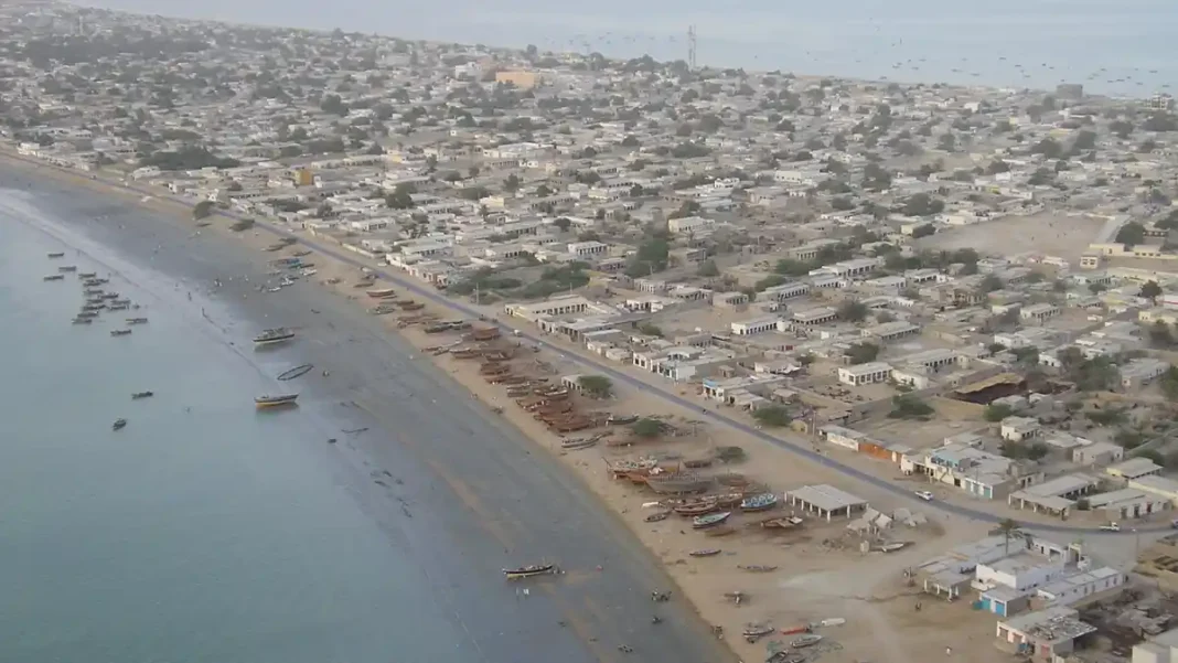
3. The Makran coast and interior Balochistan. South of the central Balochistan ranges, the land drops to a rugged 750 km coastline of cliffs, bays and fishing towns — Gwadar, Pasni, Ormara — backed by the Hingol river valley and its national park. Inland Quetta sits at 1,680 m in a high valley, the cool exception to the southern heat.
Physical Geography: Rivers, Desert, Coast
The south’s physical personality is set by three features. The Indus is the lifeline — without its barrages and canals, Sindh and South Punjab would be desert. The deserts — Thar in the southeast, Cholistan in the east, Kharan fringing the west — ring the farmland. And the coast: Pakistan’s entire 1,050 km of Arabian Sea shoreline lies in the south, from the mangrove creeks of the Indus delta past Karachi’s beaches to the cliffs of the Makran coast and Astola Island, the country’s largest offshore island. For a city-by-city tour of this coastline, see South Areas of Pakistan: Cities, Coast and Culture.
South vs North: The Key Differences
The north-south contrast is one of the sharpest in South Asia. The north is mountainous (K2 at 8,611 m), cold, and fed by glaciers; the south is flat, hot — Jacobabad, Sibi and Turbat record some of the highest temperatures on earth — and fed by the Indus and the sea. The north’s economy leans on tourism, hydropower and fruit; the south holds the ports, the stock exchange, the heavy industry and the irrigated farm belts. Culturally, the north speaks Hindko, Shina, Balti and Pashto; the south speaks Sindhi, Saraiki, Balochi, Brahui — and Karachi’s Urdu, the lingua franca they share.
Frequently asked questions
What is the southernmost point of Pakistan?
Pakistan’s southernmost land lies along the Arabian Sea coast — the Indus delta creeks of Sindh’s Badin and Thatta districts reach down to about 23.7°N, with the Sir Creek area marking the southeastern coastal limit near the Indian border.
Is Lahore in the south of Pakistan?
No. Lahore sits in central Punjab at about 31.5°N — firmly in the upper half of the country by the usual north-south reckoning. South Punjab begins well south of Lahore, around Multan (30.2°N).
Which provinces are in the south of Pakistan?
Sindh is entirely southern; Balochistan’s southern half (the Makran coast) is southern; and Punjab’s southern third (three divisions) is southern. No province is officially designated “south” — it is a geographic and cultural description.
Related Guides
- South Areas of Pakistan: The Definitive Guide — the full regional overview
- South Areas of Pakistan: Cities, Coast and Culture — city-by-city tour
- ILO Chief Visits Gadani Shipbreaking Yard — industry on the southern coast
- Sindh’s Subsidised Wheat Release — the south’s farm economy