Which Country Is in the East of Pakistan? (Answered with Map Facts)
It is one of the most-asked geography questions in Pakistani classrooms — and the answer is simple. This short guide names the country east of Pakistan, gives the border’s length and name, and clears up the common confusion with the other three neighbours.
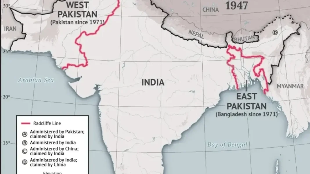
Quick answer: India is the country in the east of Pakistan. The two share a 2,912 km border called the Radcliffe Line, drawn in 1947. (مشرق میں پاکستان کے ہمسایہ ملک بھارت ہے۔)
The Answer: India
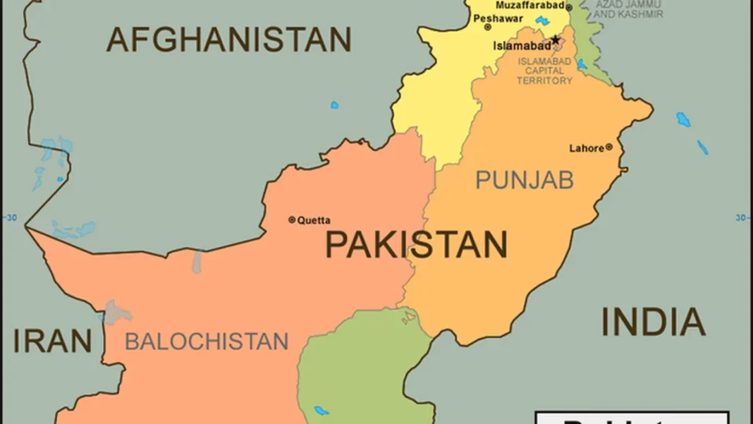
India lies directly to the east of Pakistan. Standing in Lahore and facing the sunrise, you are looking toward India — the Wagah border crossing is barely 30 km from the city. The border runs from the Arabian Sea coast in the south, up through Sindh and Punjab, and into the disputed Jammu & Kashmir region in the north.
This is Pakistan’s longest international border at 2,912 km, and it is the answer examiners expect for any question about Pakistan’s eastern neighbour.
About the Eastern Border
- Name: the Radcliffe Line, after British lawyer Cyril Radcliffe, who drew the boundary in just five weeks during the Partition of 1947.
- Length: 2,912 km (1,809 miles) — the longest of Pakistan’s four land borders.
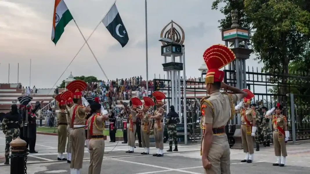
- Main crossing: Wagah-Attari near Lahore, the only road crossing between the two countries, famous for the daily flag-lowering ceremony.
- Indian states along it: Gujarat, Rajasthan, Punjab and the union territories of Jammu & Kashmir and Ladakh.
The Other Three Directions — Don’t Mix Them Up
Students often confuse the neighbours, so here is the full compass:
- East: India (this question’s answer)
- West / southwest: Iran (909 km border)
- Northwest & north: Afghanistan (2,430 km, the Durand Line)
- Northeast: China (523 km, the Khunjerab Pass)
- South: no country — the Arabian Sea (1,046 km coastline)
For the complete neighbour-by-neighbour breakdown, read Pakistan’s borders: all 4 neighbouring countries, and for the country’s size see our complete Pakistan area guide.
Related Guides
Frequently Asked Questions
Which country is in the east of Pakistan?
India is the country in the east of Pakistan. The two countries share a 2,912 km border known as the Radcliffe Line, drawn during the Partition of 1947.
How long is the Pakistan-India border?
The Pakistan-India border is 2,912 kilometres (1,809 miles) long — Pakistan’s longest international border, running from the Arabian Sea coast to the Kashmir region.
What is on the west side of Pakistan?
Iran lies to the west of Pakistan (909 km border) and Afghanistan to the northwest (2,430 km border). China is to the northeast and the Arabian Sea to the south.