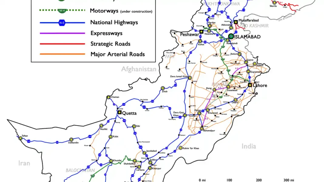
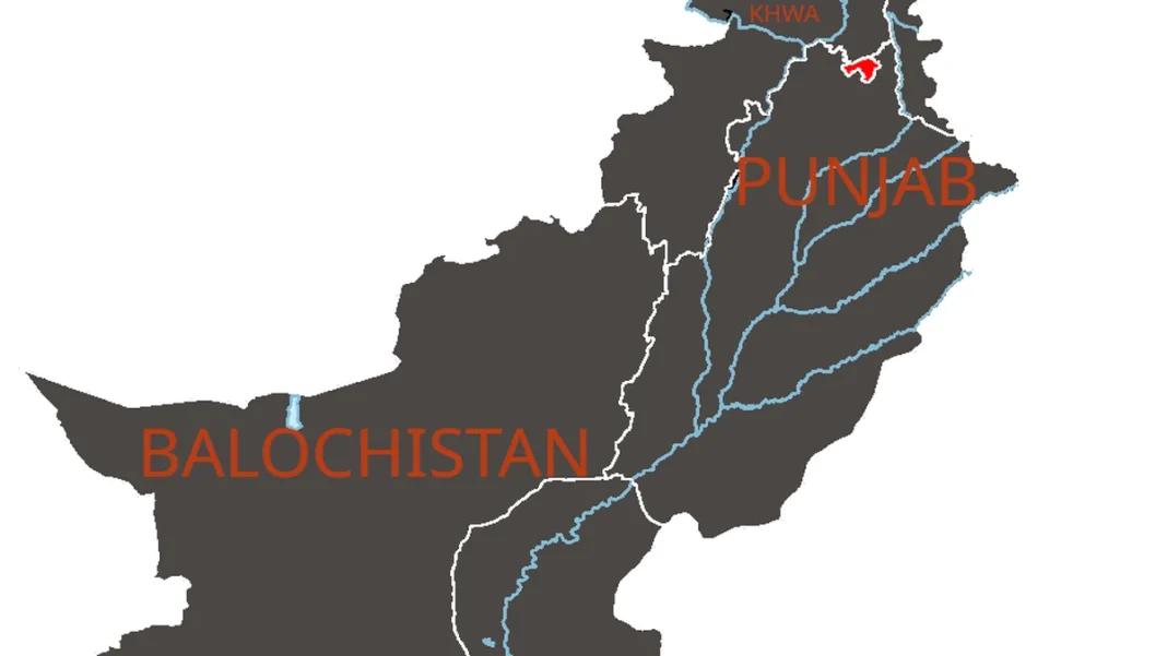
Need a Pakistan map for a presentation, a classroom wall or a research paper? The best free sources are the freely licensed files on Wikimedia Commons — high resolution, properly labelled and legal to reuse with attribution. This guide lists the most useful ones and what each is good for.
Quick answer: The best free Pakistan maps are on Wikimedia Commons: search “Pakistan location map” (political), “Pakistan topography” (physical) or “blank map of Pakistan” (outline). Files are typically CC BY-SA licensed — free to download and reuse with credit to the creator.
In this guide
The Best Free Downloads
- Pakistan administrative location map — the standard political map with provinces and neighbours labelled; ideal for general reference.
- Pakistan provinces and territories — colour-coded provinces; best for teaching internal divisions.
- Pakistan topography / physical map — mountains, plains and deserts in relief shading; best for geography study.
- Blank outline map of Pakistan — no labels; best for quizzes, worksheets and custom annotation.
- Pakistan orthographic projection — the globe-view map; best for showing Pakistan’s position in Asia.
Search these exact file names on commons.wikimedia.org and choose the highest resolution available (1,920 px or original SVG for infinite scaling).
How to Download
- Go to commons.wikimedia.org and search the file name.
- Open the file page and click the full-resolution link (or “Original file”).
- Right-click and save. For SVG files, download the SVG itself for perfect scaling, or use the rendered PNG preview at 1,920 px.
- Check the “Licensing” section on the file page before publishing your work.
Licences and Reuse
Most Commons Pakistan maps are licensed CC BY-SA (Creative Commons Attribution-ShareAlike): you may download, print and publish them freely, including commercially, as long as you credit the creator and share adaptations under the same licence. A simple caption like “Map: [creator], Wikimedia Commons, CC BY-SA” is enough. Note that Pakistan’s official 2020 map is a government work with its own usage conventions — use Commons files when you need a clearly licensed download.
Frequently Asked Questions
Is it legal to download these maps?
Yes, if you use freely licensed files (such as CC BY-SA on Wikimedia Commons) and follow the licence terms — usually just crediting the creator. Avoid random Google Images results, which are often copyrighted without a clear licence.
Which map should I use for a presentation?
For most audiences, the administrative location map (labelled provinces and neighbours) at 1,920 px works best. For a geography audience, use the topography map. Export slides at 16:9 and keep labels readable from the back row.