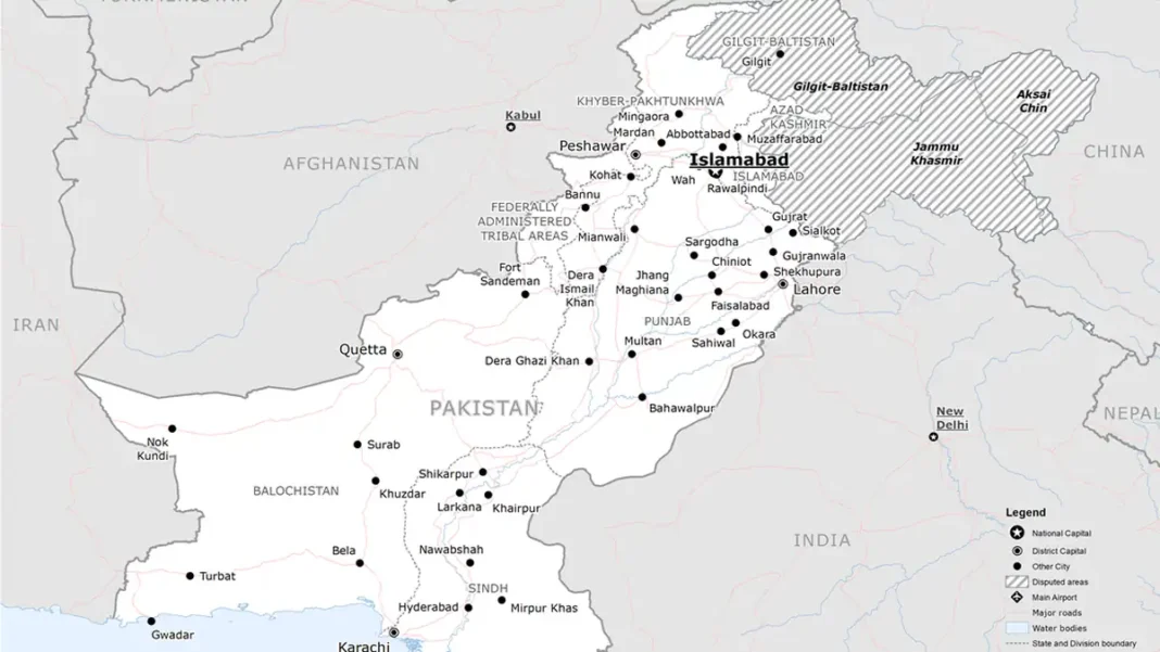
Maps are never just geography — and Pakistan’s new map of 2020 is proof. Unveiled on 4 August 2020, it redrew the country’s official cartography for the first time in decades, making bolder claims on Kashmir, Junagadh, Sir Creek and Siachen. This guide explains what changed, why the government did it, and what has happened since.
Quick answer: On 4 August 2020, Pakistan unveiled a new official political map labelling Kashmir as “Indian Illegally Occupied Jammu and Kashmir“, showing Junagadh as Pakistani, drawing Sir Creek on the eastern bank and including Siachen — a direct response to India’s August 2019 revocation of Kashmir’s special status.
In this guide
Why a New Map in 2020
The trigger was 5 August 2019, when India revoked Articles 370 and 35A of its constitution, stripping Jammu and Kashmir of its special autonomous status and splitting it into two union territories. Pakistan downgraded diplomatic ties, suspended trade and took the issue to the UN Security Council. A year later, the new map was Islamabad’s cartographic counter-move: for the first time, Pakistan’s official map openly depicted the whole of the former princely state — including Ladakh — as disputed territory claimed by Pakistan, rather than using the vaguer “disputed” shading of older maps.
What Actually Changed
Compared with the pre-2020 official map, five things stand out:
- Kashmir wording hardened: from generic “disputed territory” to “Indian Illegally Occupied Jammu and Kashmir”, with the UNSC-resolution note printed on the map itself.
- Ladakh included within the claimed area for the first time.
- Junagadh and Manavadar shown inside Pakistan — a 1947 claim given new cartographic life.
- Sir Creek’s line moved to the eastern bank, matching Pakistan’s negotiating position.
- The LoC extended as a dotted line to the Karakoram Pass, placing Siachen inside Pakistan.
Our official map guide walks through each of these line by line.
What Happened Since
India rejected the map immediately. Internationally, it changed no boundaries on the ground — maps do not settle disputes, negotiations do. Domestically, though, it stuck: the map went into textbooks, government offices and official presentations, and no subsequent government has replaced it. It remains, as of October 2026, the map Pakistani schoolchildren learn.
Frequently Asked Questions
Did any country accept the new map?
No country formally adopted Pakistan’s 2020 map as its own cartographic standard. Its significance is as Pakistan’s stated official position, used domestically and in its diplomacy — particularly at the UN, where Pakistan said it would present the map.
Can I still use the old (pre-2020) map?
For official or educational purposes in Pakistan, no — the 2020 map is the official one. Old maps remain useful for historical comparison, showing how Pakistan’s stated position has evolved since 1947.