Pakistan Map HD: High-Definition Satellite View of the Country
A political map tells you where the borders are. A Pakistan map in HD — high-definition satellite imagery — shows you what the country actually looks like from space: the snow-capped Karakoram, the green Indus plain, the brown Balochistan plateau, the Thar desert’s pale expanse. This guide presents a high-definition satellite view of Pakistan and explains how to read the terrain in it.
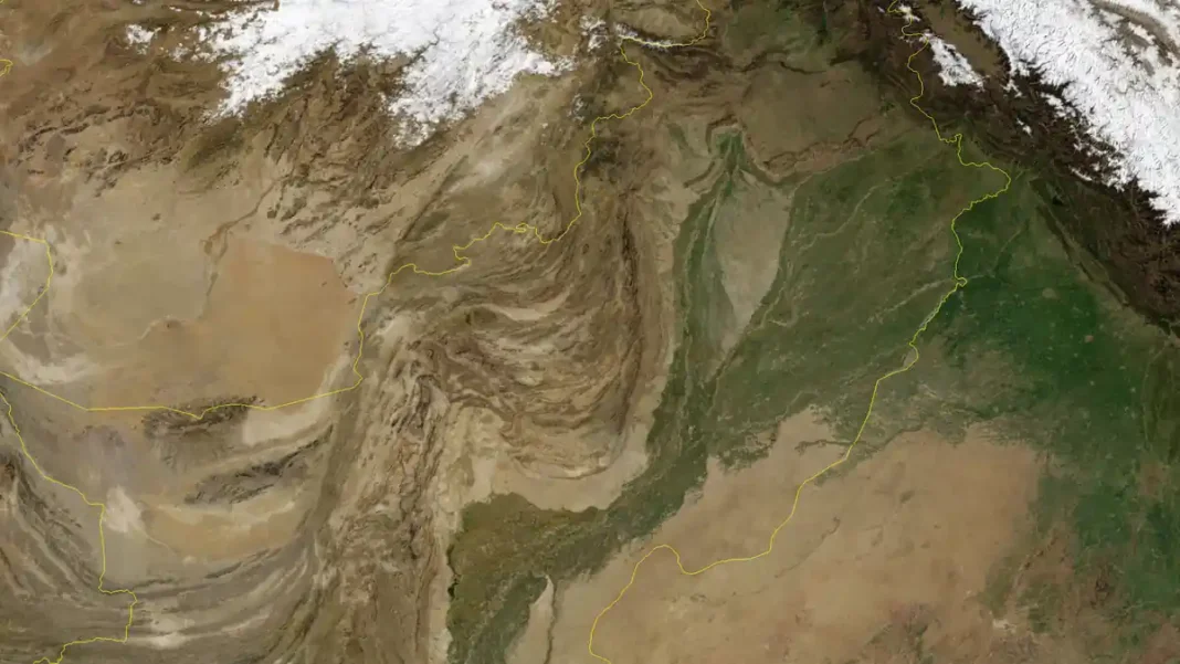
Quick answer: A Pakistan map in HD is best viewed as satellite imagery, which reveals the country’s real terrain in fine detail — the white peaks of the northern ranges, the green irrigated belt of Punjab and upper Sindh along the Indus, and the arid plateau of Balochistan. The HD satellite view featured here is our recommended version for seeing Pakistan as it truly looks.
In this guide
Reading the satellite view
Satellite imagery is colour-coded by nature. White means snow and ice; dark green means irrigated or forested land; light brown and tan mean arid, unirrigated terrain; deep blue is water. With that key, Pakistan reads like a textbook: a white crown in the north, a green wedge through the middle, brown dominating the west, and the dark line of the Arabian Sea along the south. Yellow boundary lines on the featured image trace the international borders.
The white north: mountains and snow
The top of the image is a wall of white — the Karakoram, Himalaya and Hindu Kush ranges, home to K2 (8,611 m), the world’s second-highest peak, in Gilgit-Baltistan. Pakistan has more peaks above 7,000 metres than any country outside the immediate Himalayan neighbours, and the satellite view makes that obvious: the snowfields of the north are the largest continuous white area on the map. The valleys between them — Hunza, Skardu, Chitral — appear as thin green threads. For the geology behind the view, see our Pakistan relief map guide.
The green belt: the Indus plains
Running down the centre of the image is the green belt of the Indus plain — Punjab and upper Sindh — one of the most intensively irrigated landscapes on earth. The green follows the Indus River and its tributaries (Jhelum, Chenab, Ravi, Beas, Sutlej — the five rivers that give Punjab its name, “land of five rivers”). This belt is where most Pakistanis live: Lahore, Faisalabad, Multan and Hyderabad all sit in or beside it. On the satellite view, cities appear as grey-brown smudges inside the green.
The brown west: Balochistan’s plateau
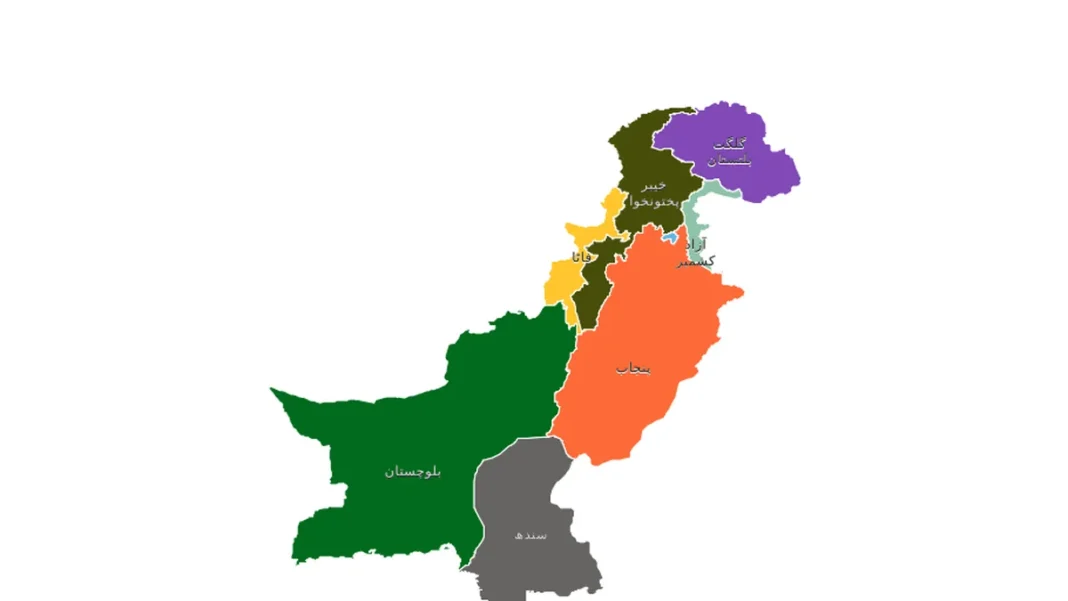
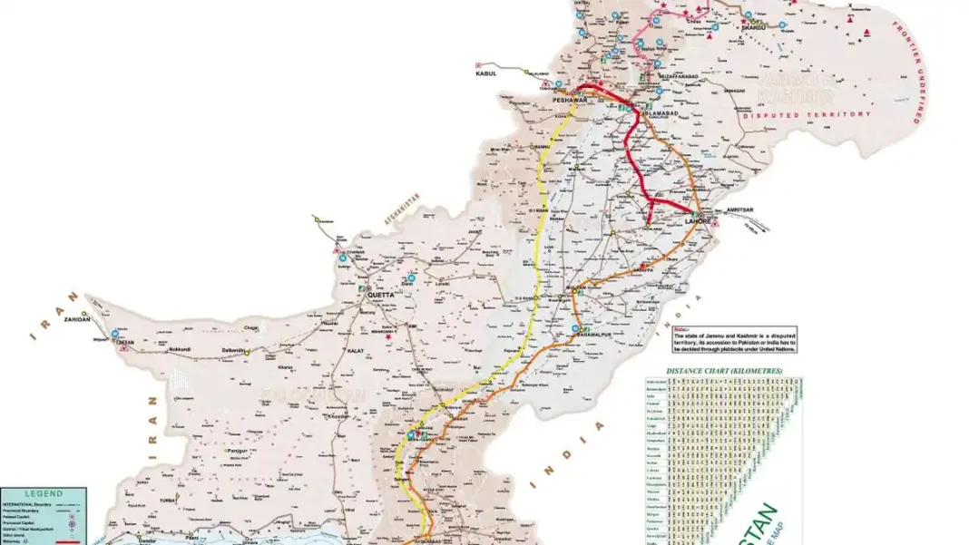
West of the Indus, the green gives way to the vast brown of the Balochistan plateau — high, dry and sparsely populated, with the pale oval of the Kharan desert visible in the west. The thin green line of the coast and the port of Gwadar mark the southern edge. This is the part of Pakistan that surprises first-time viewers of a satellite map: nearly half the country’s land, holding barely 6% of its people. For the political boundaries overlaid on this terrain, see our labelled Pakistan map image, and for live zoomable imagery, the Pakistan map online guide.
Related Guides
Pakistan map HD: FAQs
Where can I find a Pakistan map in HD quality?
The satellite view featured with this article is high-definition imagery — save it directly. For live, zoomable HD imagery, use Google Earth as explained in our Pakistan map online guide.
What is the white area at the top of the Pakistan satellite map?
Snow and glaciers of the Karakoram, Himalaya and Hindu Kush ranges in Gilgit-Baltistan and Khyber Pakhtunkhwa — including the region around K2 (8,611 m).
Why is central Pakistan green on the satellite map?
That is the irrigated Indus plain — Punjab and upper Sindh — watered by the Indus river system. It is Pakistan’s agricultural heartland and most densely populated belt.
What is the large brown area in western Pakistan?
The Balochistan plateau — high, arid terrain covering roughly 44% of Pakistan’s land area, including the Kharan desert region.