Detailed Map of Pakistan: Roads, Cities, Highways and Distances
When a simple outline is not enough — you are planning a road trip, writing a logistics report, or studying transport geography — you need a detailed map of Pakistan: every highway, every major town, and ideally a distance chart between cities. This guide presents the most detailed Pakistan map we recommend, a tourist and road map with a full city-to-city distance chart, and explains how to read it.
Quick answer: The most detailed map of Pakistan is a road and tourist map showing national highways, motorways, railway lines, airports, and dozens of towns — plus a kilometre distance chart between major cities. The detailed map featured here includes all of that: use it for route planning, travel writing and transport studies.
In this guide
What the detailed map shows
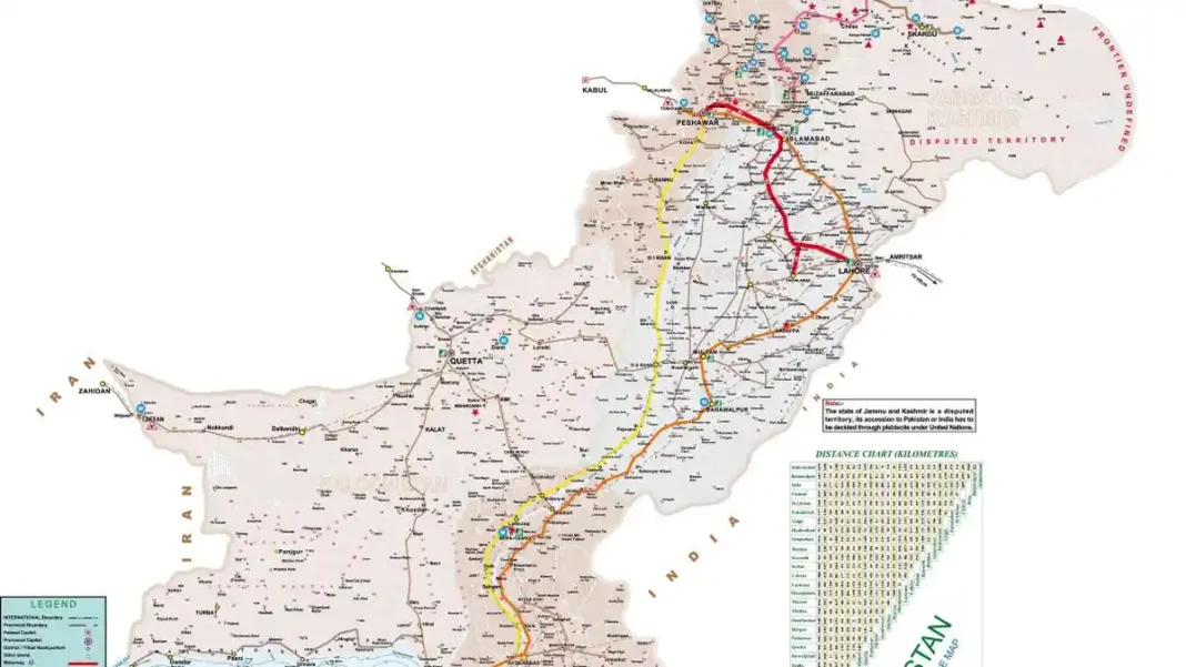
The featured map is a tourist guide map of Pakistan at a level of detail far beyond a standard political map. It plots the national highway network (N-routes), the motorways (M-routes), railway lines, airports, and a dense layer of towns and villages — from Khunjerab on the Chinese border to Gwadar on the Arabian Sea. A legend decodes every symbol: international boundaries, provincial boundaries, motorways, highways, railways, airports and places of interest. The bottom-right panel carries a triangular distance chart in kilometres between major cities.
Highways and motorways
Three road systems dominate the map. The motorways (M-1, M-2, etc.) — shown in red on the map — link Peshawar, Islamabad, Lahore and Multan in the north and centre. The national highways — the historic Grand Trunk Road corridor runs as N-5 from Lahore to Peshawar, and N-25/N-10 serve Balochistan and the coast — appear in yellow and orange. The Karakoram Highway (N-35), the fabled road to China via Khunjerab Pass, traces the northern edge. Together they explain Pakistan’s transport geography: a dense network in the populated east, thin threads across the vast west. The map even notes the “frontier undefined” segment along part of the northern border — an honest cartographic touch.
The city distance chart
The distance chart is the map’s most practical feature: find your two cities on the triangle and read the kilometres between them. It covers the standard pairs travellers ask about — Karachi to Lahore, Islamabad to Peshawar, Quetta to Karachi, Lahore to the northern areas. For route planning, read the chart first for the straight-line distance, then trace the actual highway on the map, since mountain roads in the north add significant time over the chart figure.
When to use a detailed map
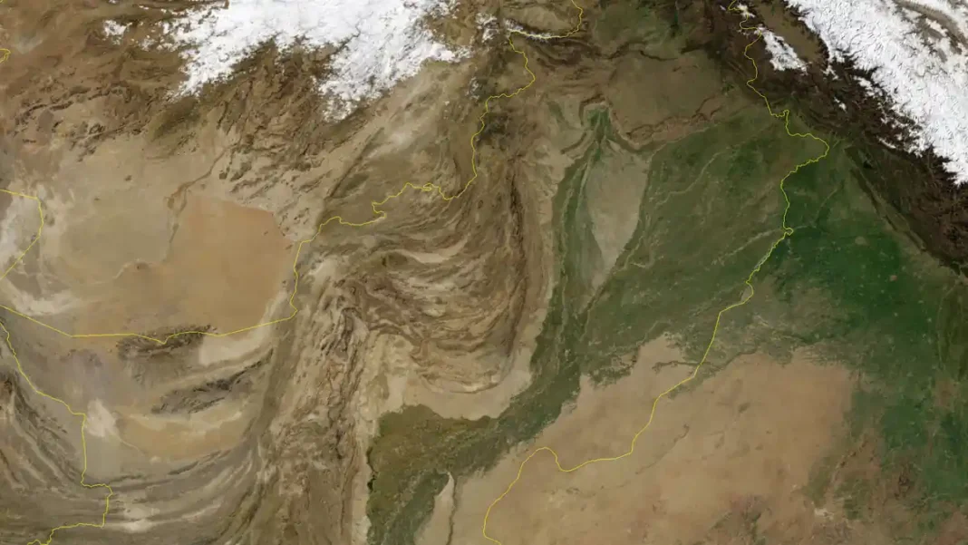
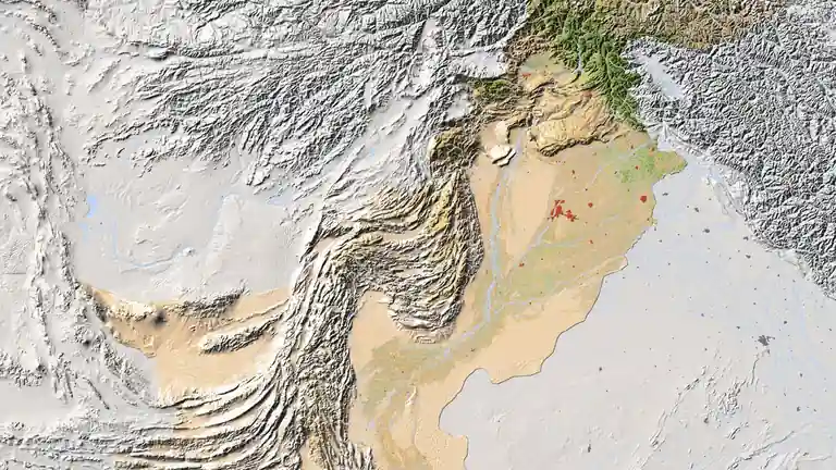
Use this map when the question involves movement: road-trip planning, freight and logistics, tourism itineraries (the map marks tourist information centres), or exam questions on transport. When the question is about administration instead — provinces and capitals — the labelled map image is clearer. When it is about terrain, use the relief map. And when you need to zoom into a single city, switch to our Pakistan city maps guide.
Related Guides
Detailed map of Pakistan: FAQs
Where can I find a detailed map of Pakistan with cities?
The road and tourist map featured here is the most detailed option we recommend — it labels dozens of towns alongside highways, railways and airports.
Does the detailed map show distances between cities?
Yes. It includes a triangular distance chart in kilometres covering the major city pairs — the quickest way to answer “how far is Karachi from Lahore?” on paper.
Which motorway connects Lahore and Islamabad?
The M-2 motorway links Lahore to Islamabad (continuing as M-1 to Peshawar). It is shown in red on the detailed map.
What is the Karakoram Highway on the map?
The N-35, running north from Islamabad through Gilgit to Khunjerab Pass on the Chinese border — one of the highest paved roads in the world, clearly traced on the detailed map.