You will see the Pak-Afghan border given as 2,640 km, 2,611 km, 2,600 km — and occasionally 2,430 km. These are not all mistakes. This guide explains how the Pak Afghan border length is actually measured, why the numbers differ, and which figure to quote.
Quick answer: The Pak Afghan border length is 2,640 km (1,640 miles) — the internationally cited length of the Durand Line. Pakistan’s military cites 2,611 km for the fencing project, which excludes impassable high-altitude stretches. Both are correct; they measure different things.
In this guide
The Official Figure: 2,640 km
The 2,640-kilometre figure is the length used in encyclopaedias, the CIA World Factbook tradition, and international reporting on the Durand Line. It converts to 1,640 miles. This is the number to quote in exams, articles and general reference — it is the figure behind our main guide on the Pakistan-Afghanistan border.
Why You See Different Numbers
| Figure | Source / context | Why it differs |
|---|---|---|
| 2,640 km | International standard | Full treaty line, end to end |
| 2,611 km | Pakistan military / ISPR | Fenceable length; excludes uncrossable peaks |
| ~2,600 km | Rounded reporting | Journalistic rounding of 2,611/2,640 |
| 2,430 km | Older / Afghan-side claims | Outdated or politically motivated undercounts |
The honest answer when someone asks “what is the exact length”: there is no surveyed-to-the-metre figure published by either government — 2,640 km is the accepted international value, and 2,611 km is the operational one.
How the Length Was Measured
The line was first demarcated by a joint British-Afghan survey starting in 1894, which mapped about 800 miles (1,300 km) of the frontier with the instruments of the day — theodolites, chains and triangulation. The full 2,640 km figure comes from modern cartography: tracing the treaty line across maps and satellite imagery. Because the border zigzags through mountains, the measured length depends on map scale — the classic coastline paradox: measure with a finer ruler and the line gets longer.
The Terrain Problem
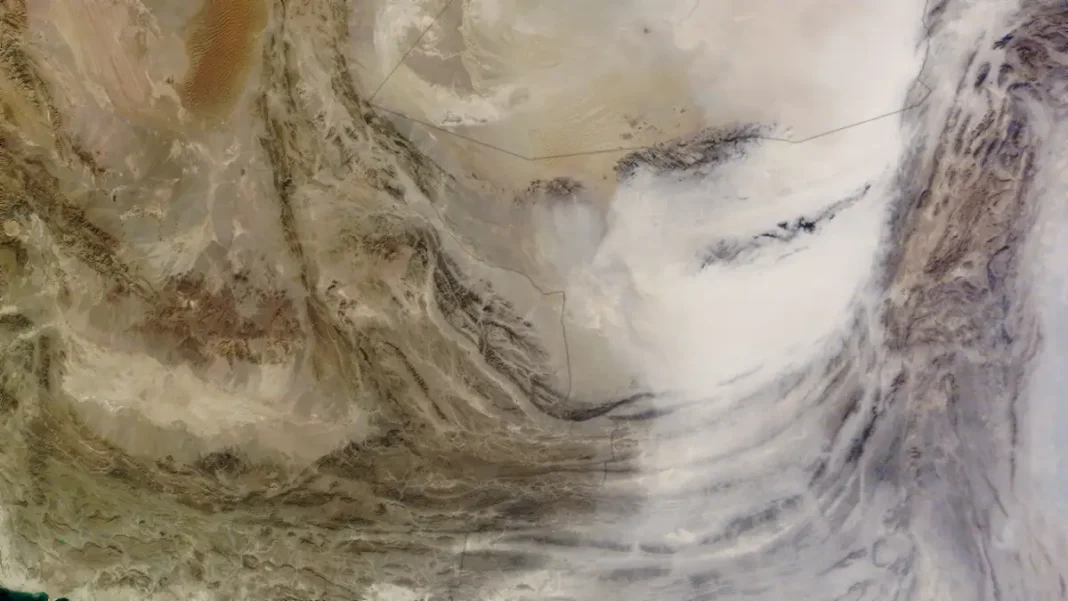
A straight line from the Iranian tripoint to the Chinese border would be far shorter than 2,640 km. The extra distance is all terrain: the line climbs over the Hindu Kush spurs, dips through the Kurram and Tochi valleys, crosses the Sulaiman Range, and runs across Balochistan’s deserts to the Iranian frontier. Some stretches sit above the snowline where, as Pakistani officials put it, fencing “does not serve any purpose as it cannot be crossed by humans” — the ~29 km gap between the 2,640 and 2,611 figures.
Frequently Asked Questions
What is the length of the Pak-Afghan border?
2,640 km (1,640 miles) — the standard international figure for the Durand Line.
Why does the Pakistan Army say 2,611 km?
That is the fenceable length used for the border-fencing project — it excludes roughly 29 km of impassable high-altitude terrain.
Is the Durand Line the longest border of Pakistan?
The Durand Line (2,640 km) is Pakistan’s longest undisputed-by-Islamabad land border; the total frontier with India including the Line of Control is longer at ~3,323 km.
How long is the border in miles?
1,640 miles (2,640 km).
Related Guides
- Pakistan Border with Afghanistan: Length, Map & Guide — the main guide
- Pakistan-China Border: Length, Khunjerab Pass & Map Guide
- Pakistan Geography — borders, provinces and terrain
- Pakistan Economy 2026: The Complete Guide