


Which Country Is Located in the North of Pakistan? China, Explained
One of the most-asked geography questions about Pakistan — and the answer opens up a story of mountains, a 1963 border deal, the world’s highest paved crossing, and the China-Pakistan Economic Corridor.
Quick answer: China (the Xinjiang Uygur Autonomous Region) lies directly north of Pakistan. The 596-km border through the Karakoram Range was set by the 1963 Sino-Pakistan Agreement; the Khunjerab Pass (4,693 m) is the only land crossing.
In this guide
The short answer: China
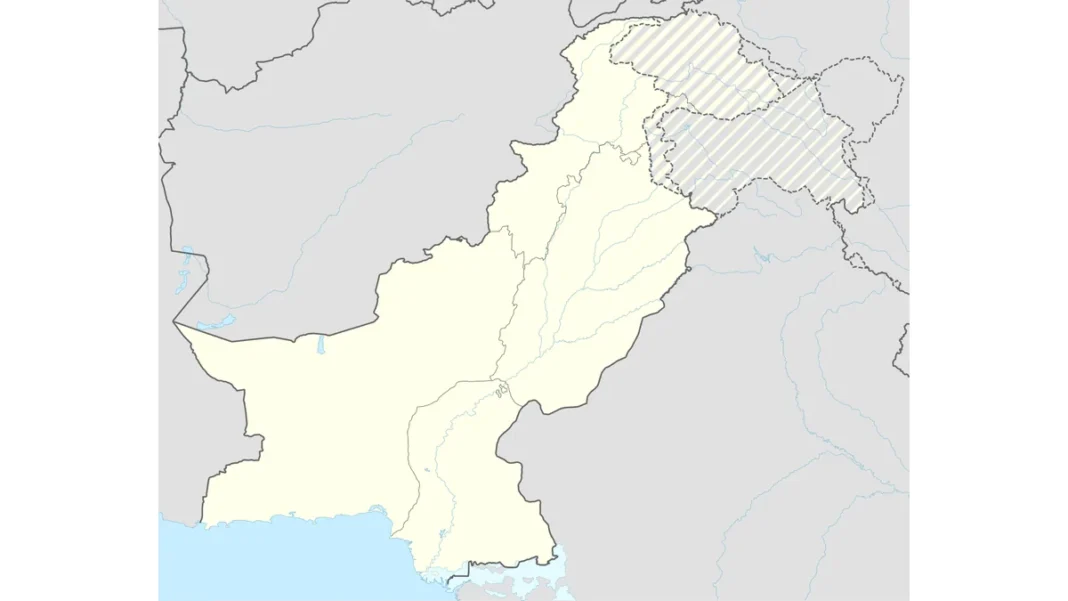
China — specifically the Xinjiang Uygur Autonomous Region — is the country located directly north of Pakistan. Pakistan’s four neighbours are India (east), Afghanistan (northwest), Iran (west) and China (north/northeast). The northern border runs through Gilgit-Baltistan’s Hunza and Nagar districts, facing China’s Taxkorgan Tajik Autonomous County across the Karakoram Range.
The border: 596 km through the Karakoram
The China–Pakistan border is 596 kilometres (370 miles) long, threading some of the highest terrain on earth. The modern boundary was fixed by the Sino-Pakistan Agreement of 1963 (signed 2 March 1963), which delimited the frontier through the Karakoram — Pakistan ceding the Shaksgam Valley tract to China while securing recognition of its control over Gilgit-Baltistan. K2 itself stands just south of the border line, on the Pakistani side. The Karakoram Pass (5,540 m), further east, was part of the ancient Silk Road.
Khunjerab Pass: the roof of the crossing
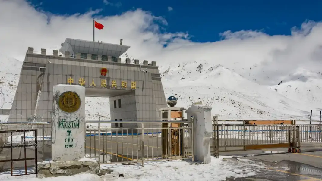
The Khunjerab Pass (4,693 m / 15,397 ft) is the only land crossing between the two countries — and the highest paved international border crossing in the world. Named from the Wakhi khun (blood) and jerab (spring creek), it sits 270 km from Gilgit and 870 km from Islamabad on the Pakistani side, 130 km from Tashkurgan and 420 km from Kashgar on the Chinese side. A daily bus has linked Gilgit and Kashgar since 2006. Traditionally closed December–March for snow, the pass went year-round in December 2024 under a bilateral agreement — a first in its history.
Why it matters: CPEC and the future
The Khunjerab is the northern gateway of the China-Pakistan Economic Corridor (CPEC) — the Karakoram Highway flows through it, carrying machinery, textiles and goods between Xinjiang and Pakistan’s ports. Year-round opening is expected to transform border trade and bring Pakistani and Chinese tourists face-to-face in the high Karakoram. The border’s symbolism runs deep: Pakistan was among the first countries to recognise the People’s Republic of China, and the Karakoram corridor has been called the flagship of their “iron brotherhood.” For most Pakistanis, though, the northern border simply means the road to Khunjerab — one of the great day trips in Asian travel. For the mountains south of the border, see our north Pakistan guide and the north side regions guide.
Related guides
Frequently asked questions
Which country is in the north of Pakistan?
China (Xinjiang region) — the 596-km border runs through the Karakoram Range above Gilgit-Baltistan.
When was the Pakistan-China border decided?
The Sino-Pakistan Agreement of 2 March 1963 formally delimited the border through the Karakoram Range.
Can tourists cross from Pakistan into China at Khunjerab?
The pass handles bilateral trade and tourism; crossing requires the appropriate Chinese visa and compliance with both sides’ port procedures. The Gilgit–Kashgar bus has operated since 2006.
Is Khunjerab Pass open in winter now?
Yes — since December 2024 it operates year-round under a bilateral agreement; previously it closed December–March.
 — the 596-km Karakoram border, 1963 agreement, and Khunjerab Pass explained.)