


The Islamabad region is where the Punjab plains meet the Himalayan foothills — the Pothohar Plateau, the Margalla Hills, and a climate unlike anywhere else in Pakistan. The complete geography of the capital region.
Quick answer: The Islamabad region sits on the northern Pothohar Plateau at the foot of the Margalla Hills (up to 1,584m), at 666m elevation. The Capital Territory (906.5 km²) borders Punjab on three sides and Khyber Pakhtunkhwa to the west. Climate: hot summers, cool winters with occasional frost — and the Margalla Hills National Park as its green lung.
Regional Setting
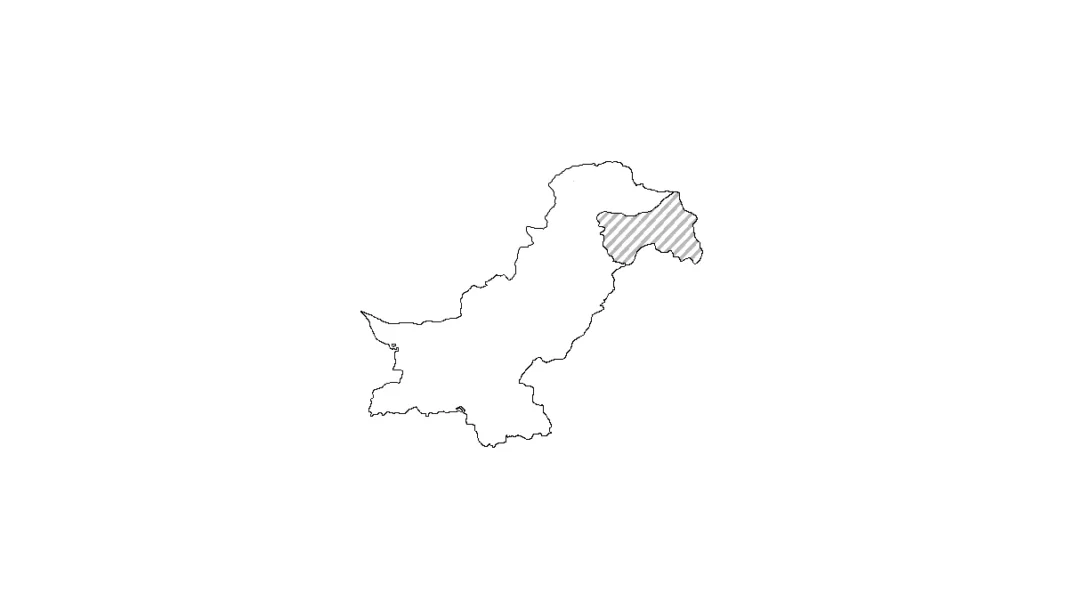
Islamabad occupies the northern edge of the Pothohar Plateau — the upland between the Indus and Jhelum rivers — pressed against the Margalla Hills, the first rampart of the Himalayan foothills. The territory borders Punjab (Rawalpindi, Taxila, Murree districts) on three sides and Khyber Pakhtunkhwa (Haripur) to the west. With Rawalpindi it forms a continuous metro of 5.7M+ people. See it from above: Pakistan’s satellite map.
The Margalla Hills
The Margallas — rising to 1,584m — are protected as the Margalla Hills National Park (220.15 km² of the territory). Daman-e-Koh (mid-slope viewpoint), Trails 3, 5 and the Margalla Ridge Trail, leopards and barking deer, 250+ bird species: the hills are Islamabad’s identity as much as its backdrop. Monkeys at Daman-e-Koh will steal your snacks — you’ve been warned.
Climate
Islamabad has Pakistan’s most temperate big-city climate: summers hot (up to ~40°C, but cooler than the plains), winters cool with occasional frost and rare hill snow, and a monsoon (July–September) that drenches the Margallas green. Best months: October–March. The elevation (666m) is why the air feels different the moment you arrive from Lahore.
Rivers & Lakes
The Korung River feeds Rawal Lake, the city’s reservoir and recreation spot; Rawal Dam (completed 1962) stores it. Shahdara stream runs down the Margallas. None are navigable — this is plateau country, not riverine Punjab — but the water bodies shape the city’s parks and picnic culture. City overview: Islamabad pillar · size & population.
Frequently Asked Questions
Which region is Islamabad in?
The northern Pothohar Plateau, at the foot of the Margalla Hills — bordering Punjab and Khyber Pakhtunkhwa.
How high are the Margalla Hills?
Up to 1,584m (5,197 ft); Islamabad city itself sits at about 666m.
What is Islamabad’s climate like?
Temperate by Pakistani standards: hot summers, cool winters with frost, and a green monsoon. October to March is the best time to visit.
Is Rawal Lake natural?
It’s a reservoir created by Rawal Dam (1962) on the Korung River — now the city’s main lakeside recreation spot.
, 666m elevation and temperate climate. The capital's geography explained.)