Line of Control Length & History: The ~778 km Military Frontier in Kashmir
The Line of Control is the most volatile stretch of the Pakistan–India frontier: ~778 km of military positions through Kashmir’s mountains, born of war and frozen by ceasefires. This guide covers its length, its history and how it differs from a real border.
Quick answer: The Line of Control (LoC) is about 778 km (483 miles) long, dividing Azad Kashmir and Gilgit-Baltistan from Indian-administered Kashmir. It is a military control line, not an international border — established by the 1948 ceasefire, formalised after the 1971 war (Simla Agreement, 1972).
The length
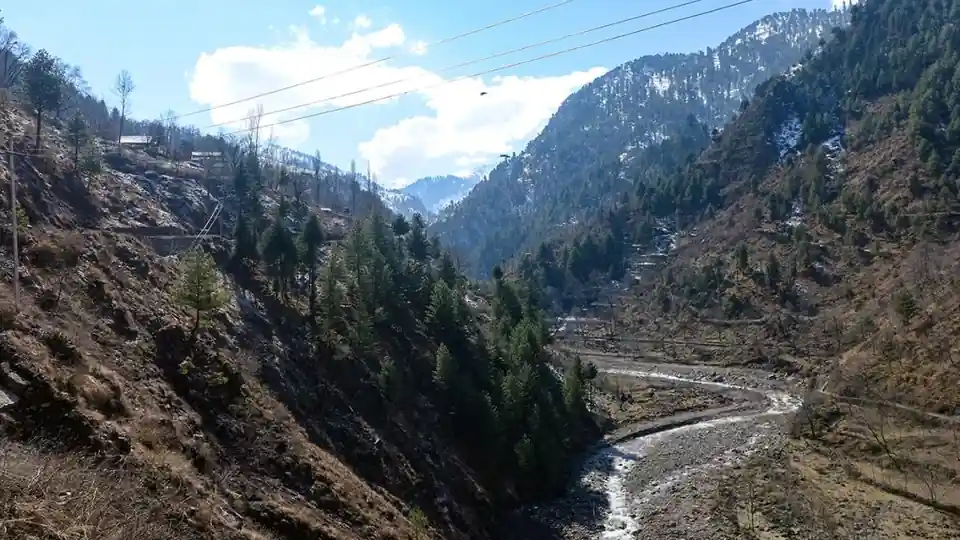
The LoC runs roughly 778 km from the Chenab river region (where the Working Boundary ends) north to map point NJ9842, beyond which lies the Siachen AGPL. It winds through some of the world’s toughest terrain — the Pir Panjal range, the Neelum and Jhelum valleys, and high ridges where posts sit above 4,000 metres. In the 3,323 km total frontier, it’s the shortest named segment and the most dangerous.
From 1948 to Simla
The line began as the 1948 UN ceasefire line after the first Kashmir war. After the 1971 war, the Simla Agreement (1972) renamed it the Line of Control and both sides agreed to respect it “without prejudice” to their claims — the diplomatic formula that has held, barely, ever since. Unlike the Radcliffe Line, it was drawn by soldiers and diplomats, not a boundary commission.
The wars along the LoC
- 1947–48: the first Kashmir war creates the ceasefire line.
- 1965: war across the international border and Kashmir.
- 1971: the war that created Bangladesh; Simla follows.
- 1999 Kargil: the LoC’s most serious breach — Pakistani positions across the line, a limited war under the nuclear shadow.
- 2003–2021: a ceasefire (2003) held unevenly until the February 2021 recommitment largely silenced the guns.
The LoC today
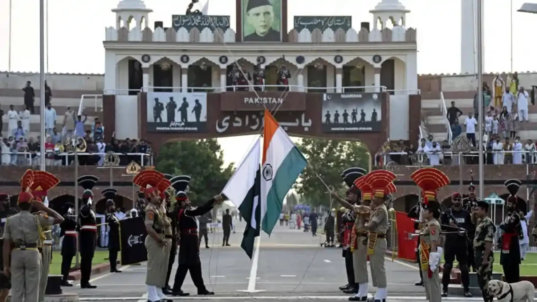
The LoC remains heavily militarised: fenced in places, mined in others, watched by posts metres apart in some sectors. Civilians live in villages within shelling range — the “small wars” of daily life along the line. There is no civilian crossing on the LoC; divided families meet, if at all, via Wagah. The settled border to its south: the Radcliffe Line; the frozen frontier to its north: Siachen.
LoC: FAQs
How long is the Line of Control?
About 778 km (483 miles).
Is the LoC an international border?
No — it’s a military control line established by the 1948 ceasefire and formalised by the 1972 Simla Agreement.
When was the LoC created?
As a ceasefire line in 1948; renamed the Line of Control after the 1971 war.
Can civilians cross the LoC?
No — there is no civilian crossing; the only crossing is Wagah–Attari.