Siachen Glacier Border: Life on the World’s Highest Battlefield
At the northern end of the Pakistan–India frontier lies the Siachen Glacier — 76 km of ice where two armies hold the world’s highest battlefield. This guide covers the AGPL, the 1984 seizure, and what “victory” means at 20,000 feet.
Quick answer: The Siachen Glacier (~76 km long, up to 5,753 m) is divided by the AGPL (Actual Ground Position Line, ~110 km). India seized the heights in Operation Meghdoot (April 1984); Pakistan holds the lower western approaches. More soldiers have died from altitude and cold than combat.
The glacier
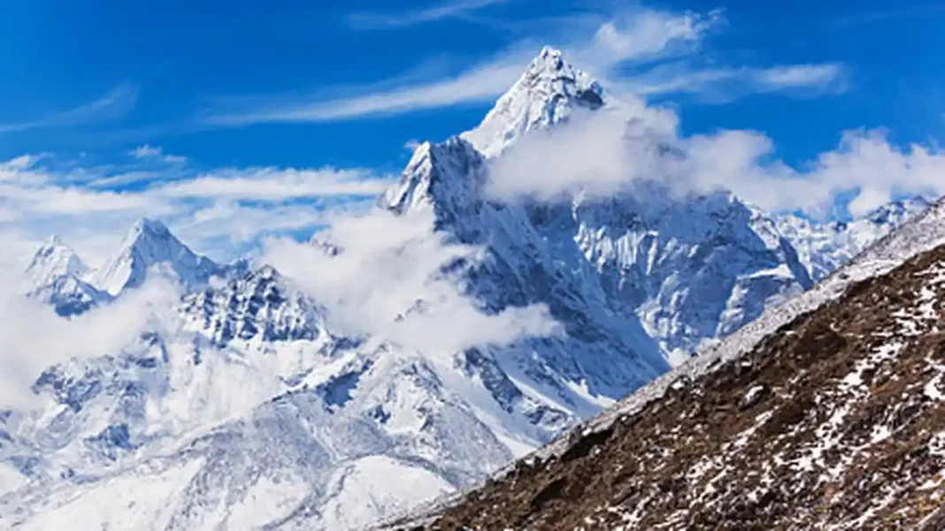
The Siachen Glacier runs about 76 km through the eastern Karakoram, with posts up to ~6,400 m (21,000 ft) — the highest battlefield on earth. Temperatures fall below −50°C; the air holds a third of sea-level oxygen. The glacier sits beyond LoC map point NJ9842, where the 1972 Simla line simply stopped — “thence north to the glaciers,” the agreement said, and both sides read those words differently.
1984: Operation Meghdoot
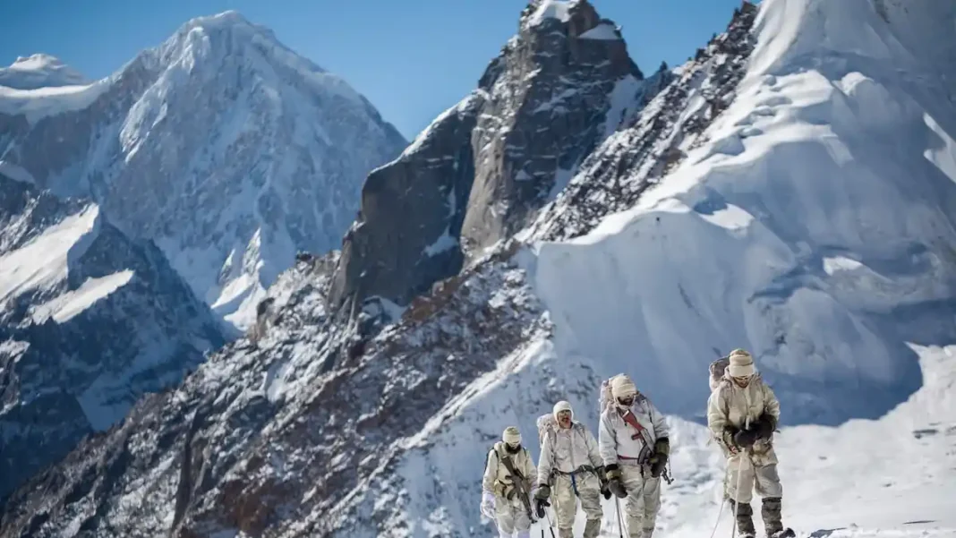
In April 1984, India airlifted troops onto the glacier’s commanding heights (Operation Meghdoot), pre-empting Pakistan’s own planned move. Pakistan responded by occupying the lower western approaches, including the Gyong La area. The result: two armies dug into ice a few hundred metres apart, where neither can dislodge the other — and neither will leave.
The AGPL
The Actual Ground Position Line (~110 km) marks the current military positions — not a surveyed border but a line of posts, recorded in the 3,323 km frontier total. Demilitarisation talks have surfaced for decades (notably 2012, after the Gayari avalanche buried 140 Pakistani soldiers), but mistrust over authentication of positions has blocked every deal.
The human cost
Siachen’s most quoted statistic: altitude kills more than bullets — avalanches, crevasses, frostbite and pulmonary oedema. Both armies have lost thousands to the mountain since 1984; combat deaths are a fraction. The glacier is less a battlefield than a monument to what the Kashmir dispute costs in its purest form. The line below it: the LoC; the frontier total: border length hub.
Siachen: FAQs
How long is the Siachen Glacier?
About 76 km — the longest glacier in the Karakoram.
What is the AGPL?
The Actual Ground Position Line (~110 km): the line of military posts on the glacier, not a surveyed border.
When did the Siachen conflict start?
April 1984, with India’s Operation Meghdoot seizing the heights.
Why do soldiers die on Siachen?
Mostly altitude, cold, avalanches and crevasses — not combat.