Pakistani Map Picture: A Colour-Coded View of the Provinces for Classrooms
A “Pakistani map picture” is what most people actually want when they search for a map of Pakistan: a single, clear picture where each province has its own colour, the capitals are marked, and you can read the whole country in ten seconds. This guide presents exactly that — a colour-coded Pakistani map picture — and explains how to use it for teaching, presentations and quick reference.
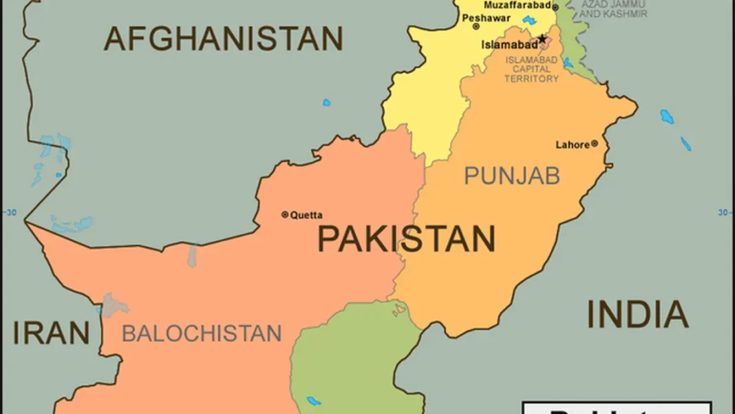
Quick answer: A Pakistani map picture is a colour-coded political map of Pakistan in which Punjab, Sindh, Khyber Pakhtunkhwa and Balochistan each get a distinct colour, Islamabad is marked as the national capital, and Gilgit-Baltistan and Azad Jammu and Kashmir appear as separate territories. The picture featured here is our recommended version — clean, current and easy to read at any size.
In this guide
What the colours mean
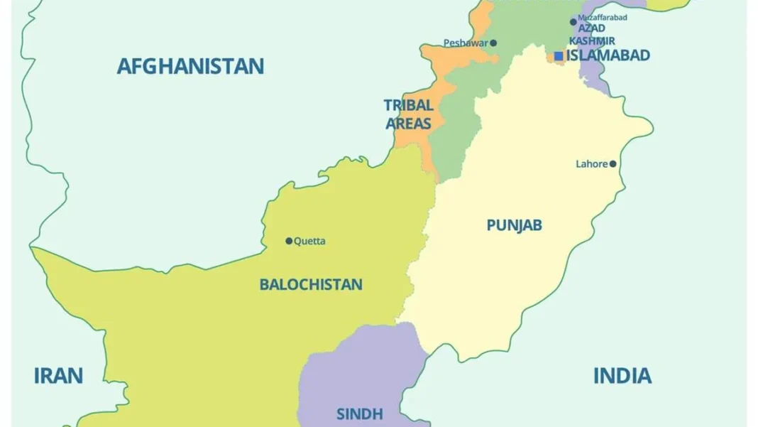
Colour-coding is what makes a Pakistani map picture work. Each administrative unit gets its own fill colour with a darker boundary line, so the eye separates them instantly: Punjab in the east, Sindh in the southeast running to the sea, Khyber Pakhtunkhwa along the northwest frontier, Balochistan covering the great southwestern expanse, Gilgit-Baltistan in the far north, and Azad Jammu and Kashmir in the northeast. Islamabad appears as a small marked capital territory. Neighbouring countries — India, Afghanistan, Iran, China — are shown in muted tones so Pakistan stands out.
One check before you trust any Pakistani map picture: make sure the tribal areas are not shown as a separate region. FATA was merged into Khyber Pakhtunkhwa in 2018, so any picture still labelling it separately is at least eight years out of date. The picture featured here is current.
Capitals marked on the picture
The picture marks six capitals: Islamabad (national capital), Lahore (Punjab), Karachi (Sindh), Peshawar (Khyber Pakhtunkhwa), Quetta (Balochistan), plus Gilgit and Muzaffarabad for the two territories. Major secondary cities — Faisalabad, Multan, Hyderabad, Sialkot, Rawalpindi — are labelled too, which makes the picture useful for general-knowledge quizzes: “which city is the capital of Balochistan?” and “which is Pakistan’s largest city?” are both answered at a glance.
Using it in the classroom
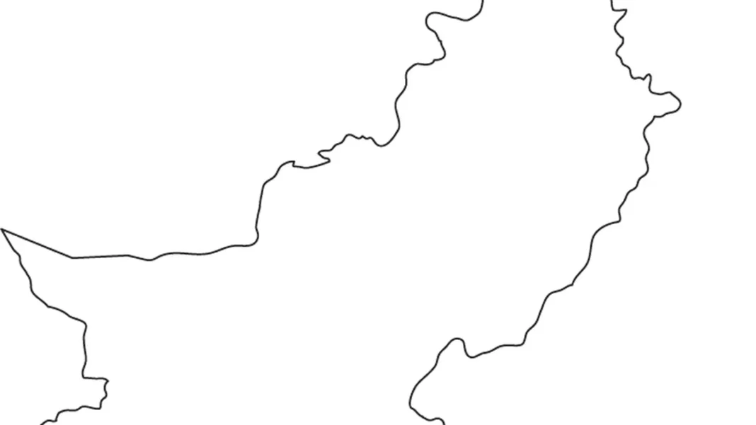
Teachers use colour-coded map pictures because students remember colours faster than names. A common exercise: project the picture, name a province, and have students point to it — then reverse it and have them name the colour they see. For written work, pair this picture with our blank Pakistan map outline so students can draw and label the provinces themselves. For Urdu-medium classes, the Pakistan naqsha with Urdu labels matches the same layout in Urdu script. And for a picture with even more labels — cities, rivers, neighbours — see our labelled Pakistan map image guide.
Beyond the picture
A picture map answers “where”; other map types answer “what is it like there” and “how do I get there”. The relief map shows the mountains and plains behind the colours. The detailed road map adds highways and distances for travel planning. The HD satellite view shows the actual terrain from space. Start from our Pak Map hub to browse all twelve map guides.
Related Guides
Pakistani map picture: FAQs
What is a Pakistani map picture?
It is a colour-coded picture map of Pakistan showing the four provinces in distinct colours, with capitals, major cities and neighbouring countries labelled — designed to be read at a glance.
How many provinces are shown in the Pakistani map picture?
Four provinces — Punjab, Sindh, Khyber Pakhtunkhwa and Balochistan — plus the Islamabad Capital Territory and the territories of Azad Jammu and Kashmir and Gilgit-Baltistan.
Is this Pakistani map picture up to date?
Yes. It reflects the post-2018 setup with FATA merged into Khyber Pakhtunkhwa, and shows Gilgit-Baltistan and Azad Jammu and Kashmir as separate territories.
Can I use this Pakistani map picture in a presentation?
Yes — colour-coded picture maps are made for slides. For design work needing a transparent or vector style, also see our map clipart guide.