Pakistan Map Online: How to Find the Country on Google Maps and Google Earth
Static map images are useful, but sometimes you need the live thing: to zoom into a street in Lahore, measure the distance to the Wagah border, or see your village from above. This guide covers the Pakistan map online — where the country sits on the world map, how to find it on Google Maps and Google Earth, and which free tools do each job best.
Quick answer: Pakistan sits in South Asia at roughly 30°N, 70°E, bordered by India, Afghanistan, Iran and China, with the Arabian Sea to the south. To view a Pakistan map online, search “Pakistan” in Google Maps for the interactive road map or open Google Earth and search “Pakistan” for 3D satellite imagery you can tilt, zoom and explore street by street.
In this guide
Where Pakistan is on the world map
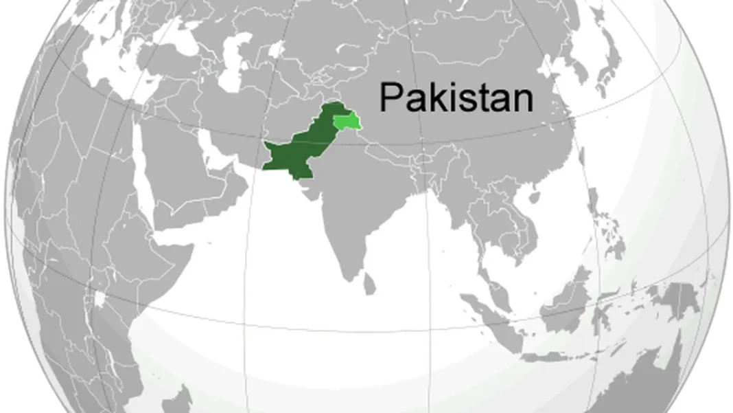
On a world globe, Pakistan sits at the crossroads of South Asia, Central Asia and the Middle East — roughly between latitudes 24°N and 37°N. The globe view featured with this article shows it highlighted in green: east of Iran and Afghanistan, west of India, south of China, with its southern coast on the Arabian Sea. That position is the whole story of Pakistan’s geography — a bridge between regions, which is why the China-Pakistan Economic Corridor and the historic Grand Trunk Road both run through it. For the static version of this view, see our labelled Pakistan map image.
Using Google Maps for Pakistan
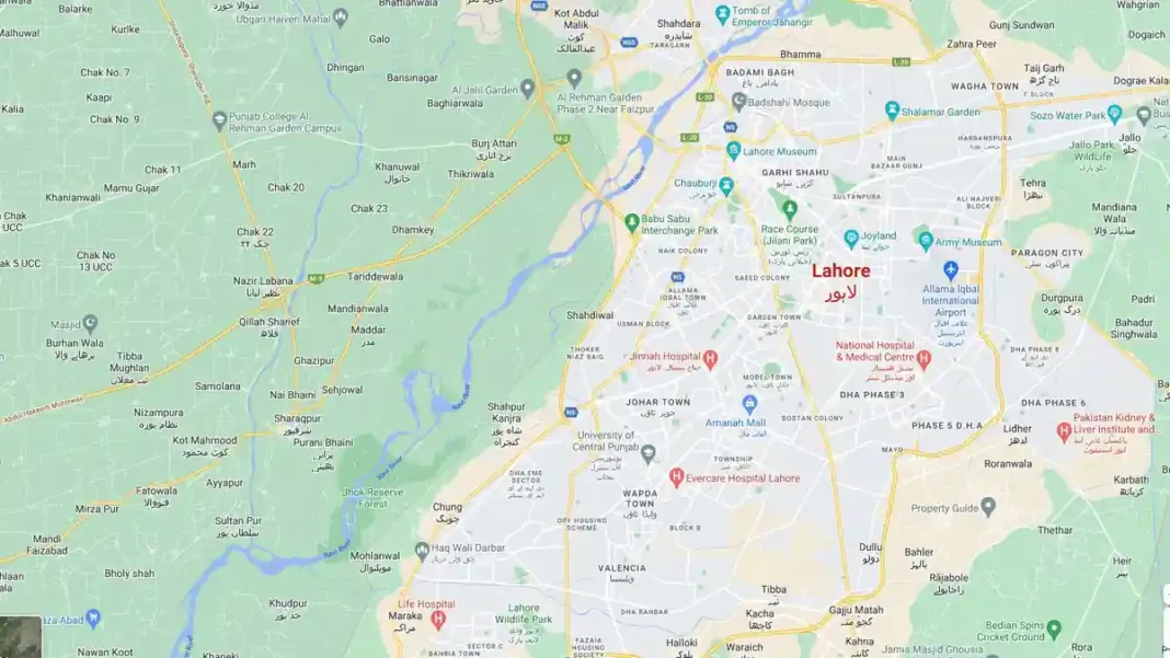
Open Google Maps (maps.google.com) and type “Pakistan”. You get the interactive road map: zoom with the scroll wheel or pinch, drag to pan, and click any city for details. Practical uses: search “Lahore to Islamabad distance” for driving time and the M-2 route; switch to the Satellite layer (bottom-left) for the photographic view; use Street View (drag the yellow figure) in covered cities like Lahore, Karachi and Islamabad to stand virtually on the road. For offline travel, download the map area in the Google Maps app before you leave Wi-Fi — essential on northern routes where signal drops.
Using Google Earth for Pakistan
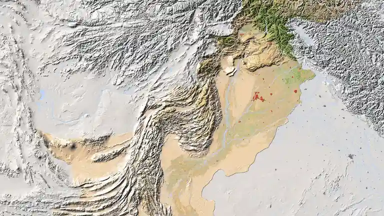
Google Earth (earth.google.com) is the tool for the “wow” view: search “Pakistan” and you fly in from space to a 3D model of the country. Tilt the view to see the Karakoram rising in true relief, fly the length of the Indus, or drop to street level over the Badshahi Mosque. The Timelapse feature shows decades of change — watch Lahore and Karachi sprawl outward, or the Indus shift course. It is the closest thing to the HD satellite view, but live and explorable.
Other free online map tools
Google is not the only option. OpenStreetMap (openstreetmap.org) often has better detail for smaller Pakistani towns, contributed by local mappers. Bing Maps offers an alternative satellite layer. Wikimapia carries community-labelled places across Pakistan. And for official boundaries, the Survey of Pakistan publishes authoritative topographic sheets. Whatever tool you use, cross-check place names against our Urdu naqsha if you are working in Urdu.
Related Guides
Pakistan map online: FAQs
How do I find Pakistan on Google Maps?
Type “Pakistan” in the Google Maps search bar. Zoom and drag to explore; switch to the Satellite layer for the photographic view and use Street View in covered cities.
Where is Pakistan located on the world map?
In South Asia, roughly 30°N 70°E — bordered by India (east), Afghanistan (west/northwest), Iran (west), China (north), with the Arabian Sea to the south.
Can I see Pakistan in 3D online?
Yes — Google Earth renders Pakistan in 3D satellite imagery you can tilt, rotate and zoom, from the Karakoram peaks down to street level in major cities.
Is there an official online map of Pakistan?
The Survey of Pakistan is the official mapping authority. For everyday use, Google Maps and OpenStreetMap are the most practical free online options.