Ask for a Pakistan map 2020 and you are really asking about a turning point: the year Pakistan redrew its official cartography. The map unveiled on 4 August 2020 replaced the older official version with bolder claims — and it is still the map in Pakistani textbooks today. Here is the before-and-after story.
Quick answer: In August 2020 Pakistan replaced its official political map with a new version labelling Kashmir as “Indian Illegally Occupied Jammu and Kashmir“, adding Junagadh, Sir Creek’s eastern bank and Siachen — a response to India’s August 2019 Kashmir move. It remains official as of 2026.
In this guide
The Map Before 2020
Before August 2020, Pakistan’s official maps showed Jammu and Kashmir in a neutral “disputed territory” style — claimed in principle but without the hard labelling of the new version. Junagadh did not appear; Sir Creek’s line sat on the western bank in some editions; Siachen’s status was left ambiguous. The map had evolved little since the 1970s, and few Pakistanis thought much about it.
August 2020: The Revision
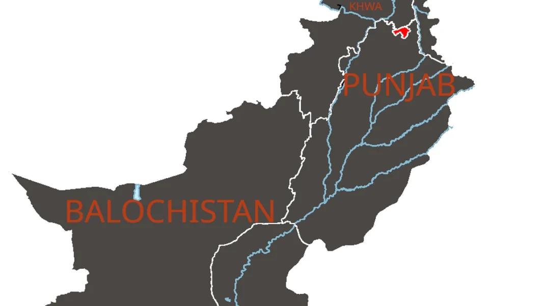
The new map, approved by the federal cabinet and unveiled by Prime Minister Imran Khan on 4 August 2020, made five headline changes: the “Indian Illegally Occupied Jammu and Kashmir” label with its UNSC note; Ladakh’s inclusion in the claimed area; Junagadh and Manavadar shown as Pakistani; Sir Creek drawn on the eastern bank; and the Line of Control extended by dotted line to the Karakoram Pass, covering Siachen. The China frontier was marked “Frontier Undecided”. Full detail is in our official map guide.
The Map After 2020
Six years on, the 2020 map is simply “the map” for Pakistanis — in textbooks, news graphics and government offices. India continues to reject it. The episode showed how a map can be a political statement as much as a navigational tool, and it set the reference point every later discussion of Pakistan’s boundaries must start from. See the Pakistan map hub for the current official picture.
Frequently Asked Questions
What did the old Pakistan map look like?
The pre-2020 official map showed Kashmir as disputed territory without the “Indian Illegally Occupied” label, omitted Junagadh, and left Siachen and Sir Creek ambiguous. It is now mainly of historical interest.
Has the map changed since 2020?
No. As of October 2026, no government has revised the August 2020 political map — it remains Pakistan’s official map.